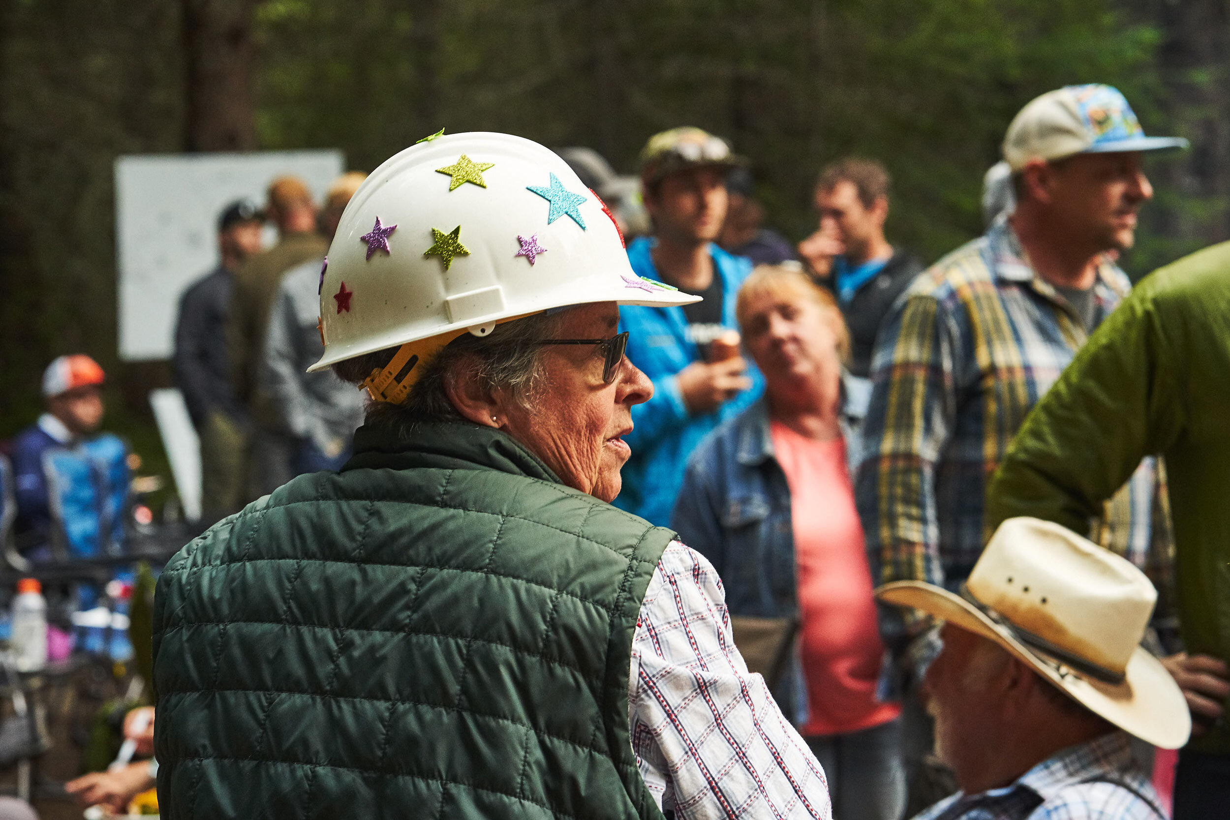
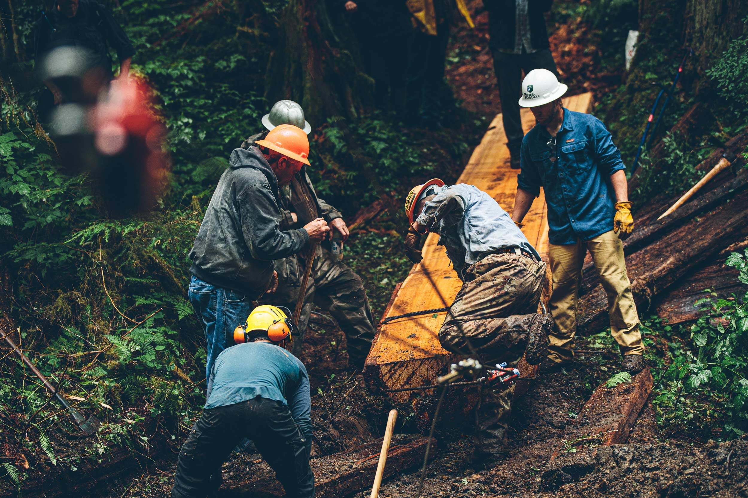
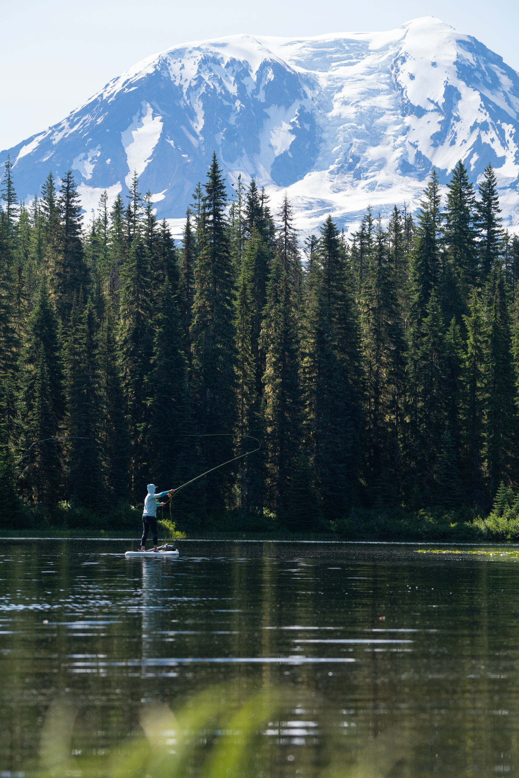
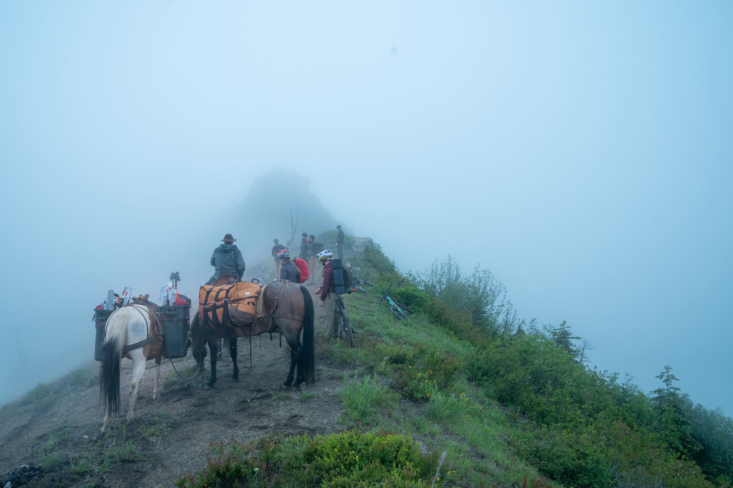
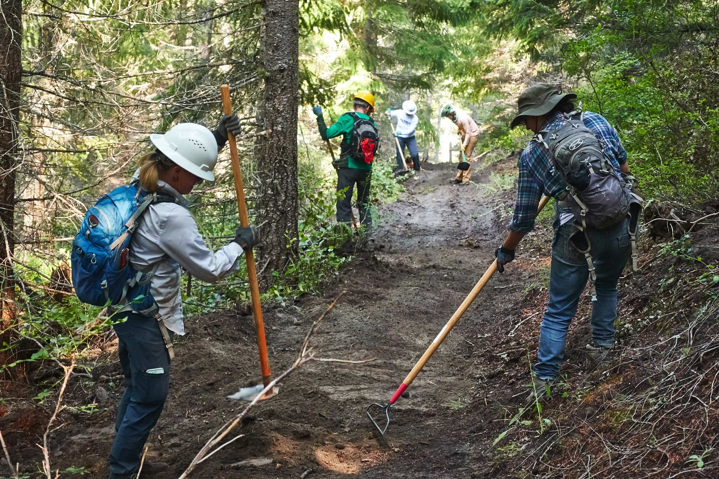
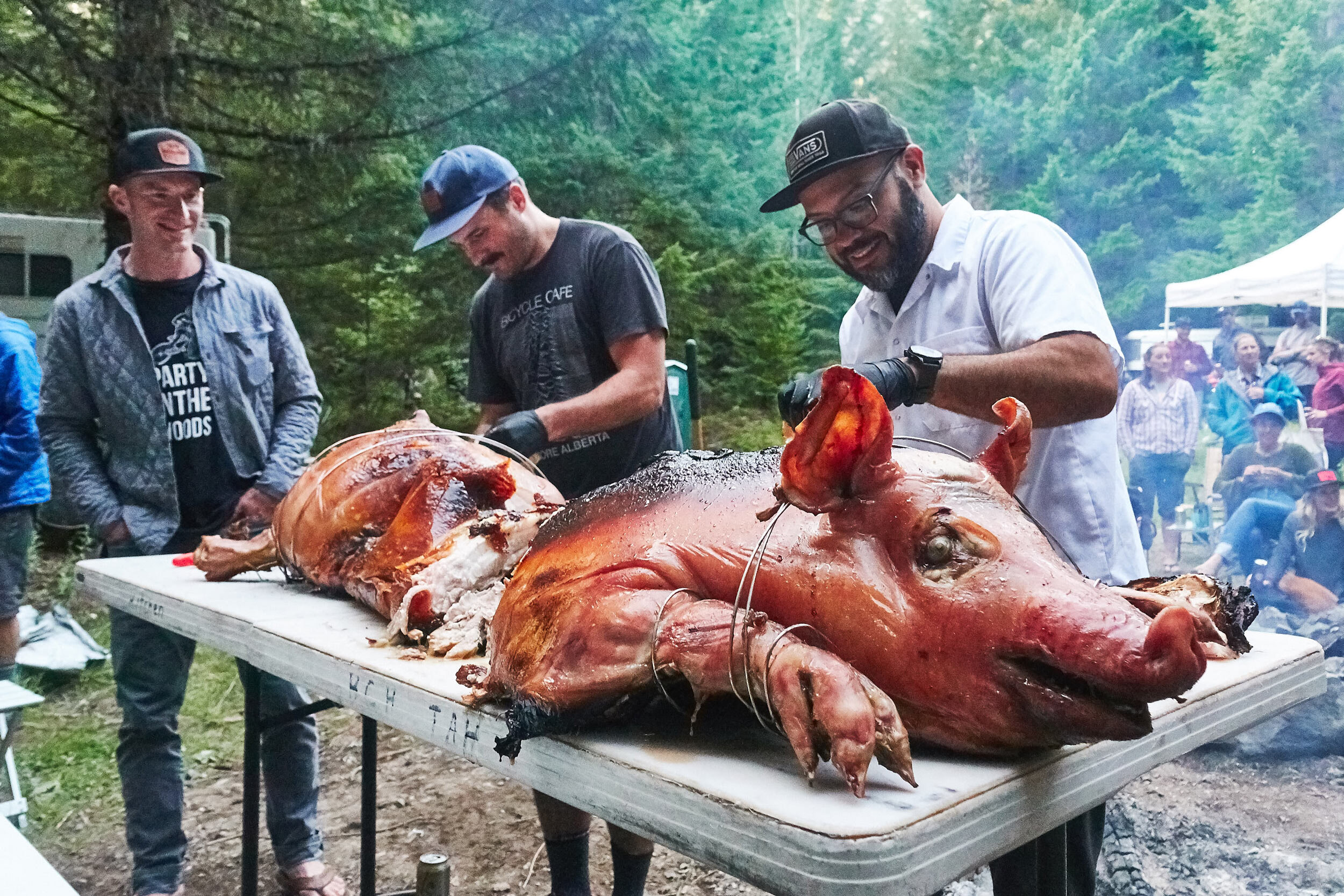
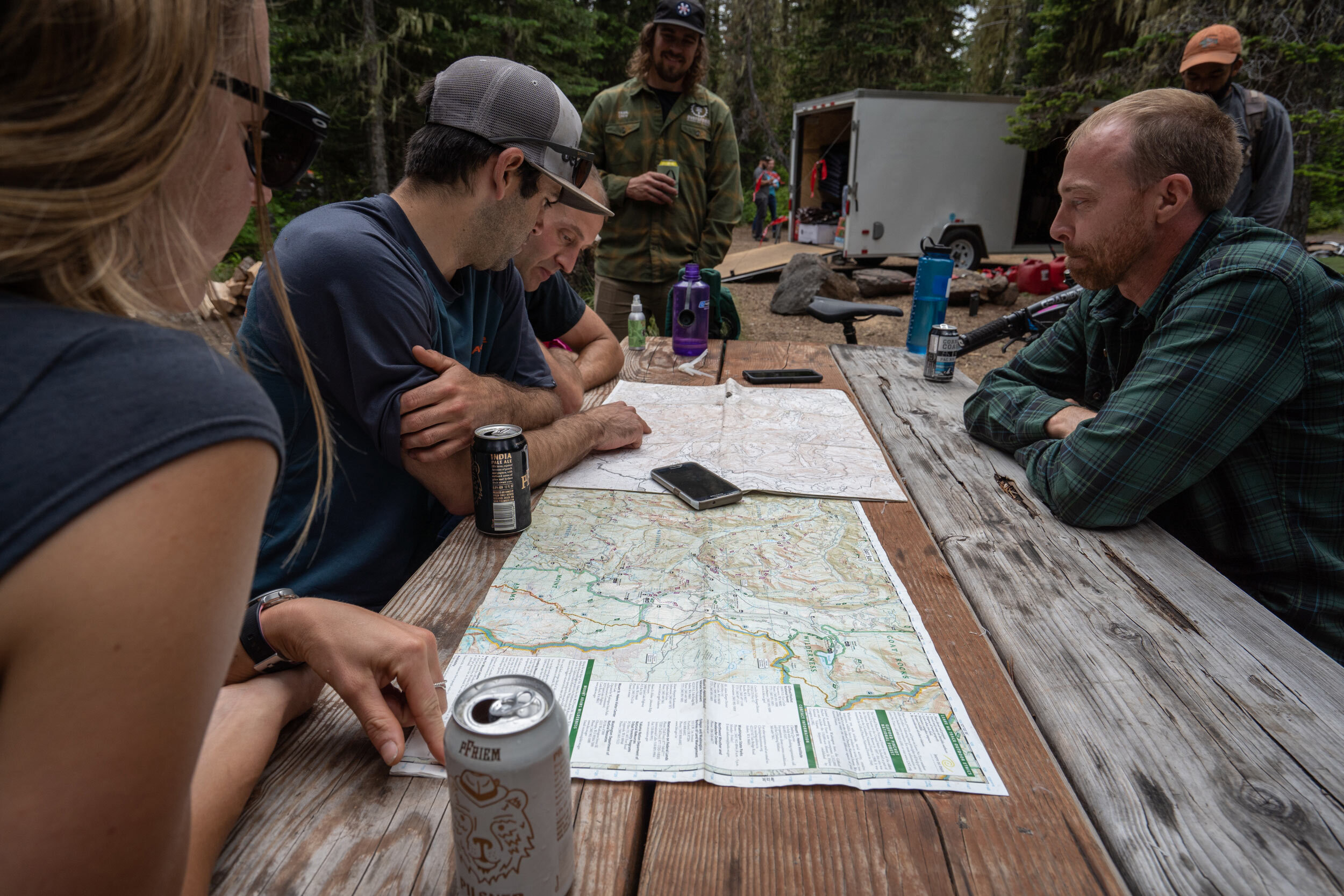
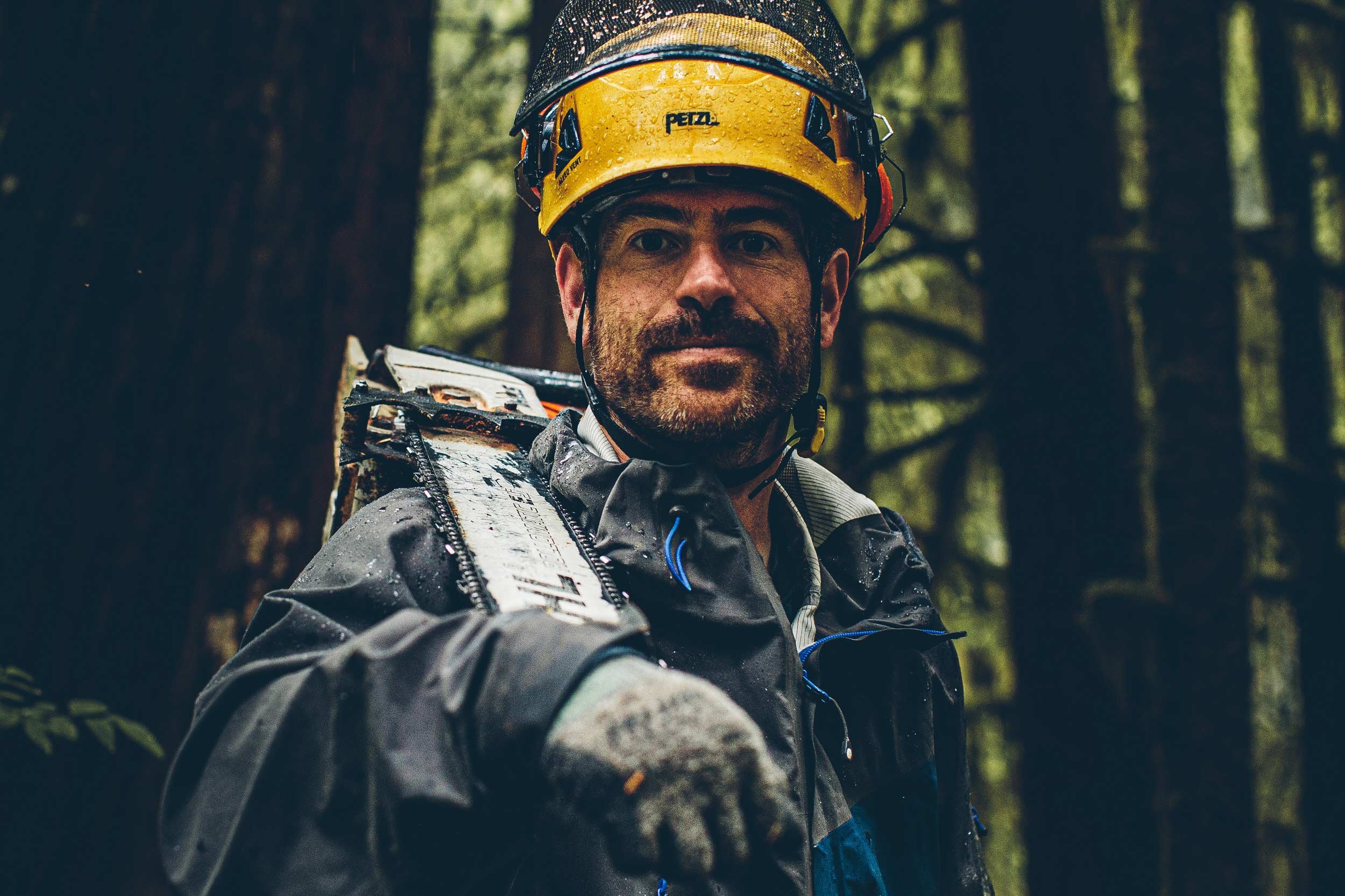
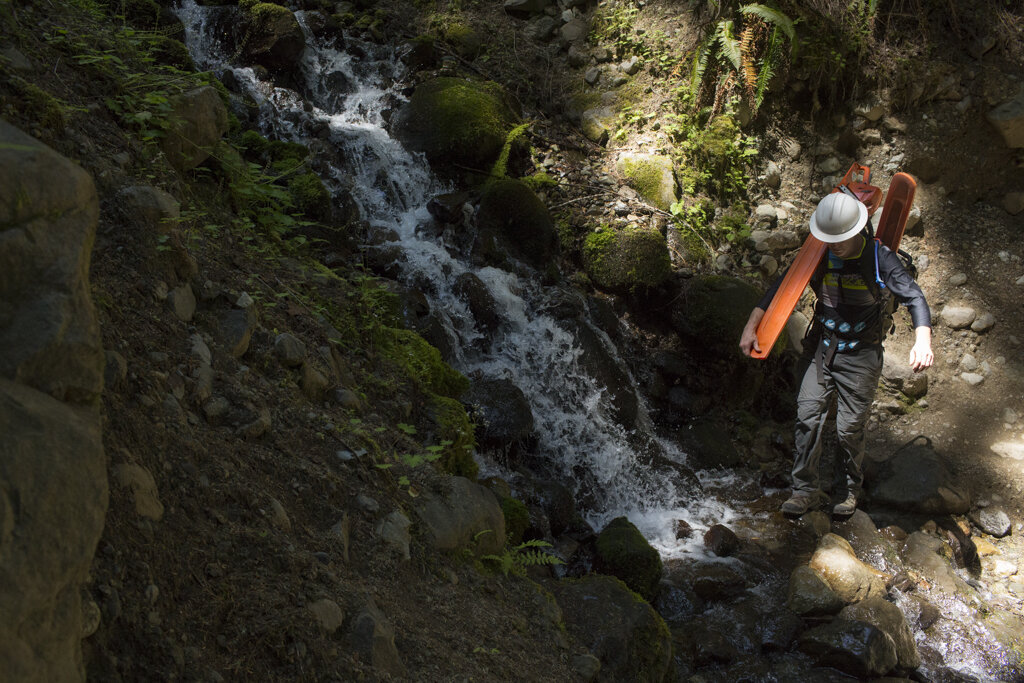
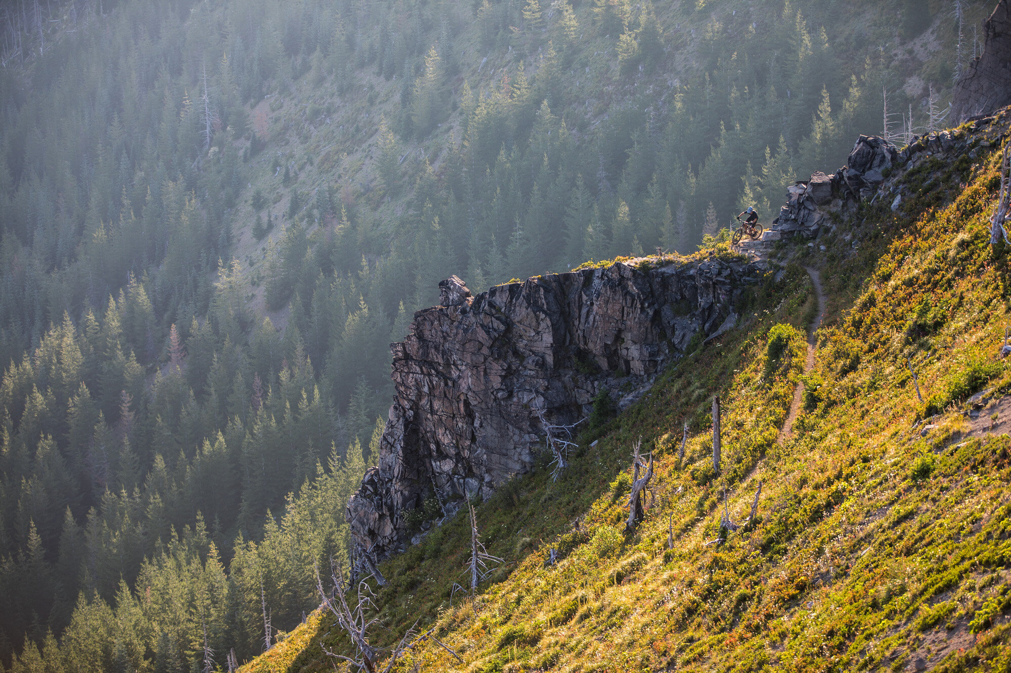
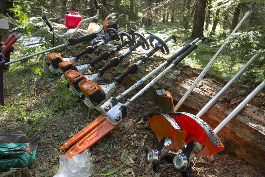
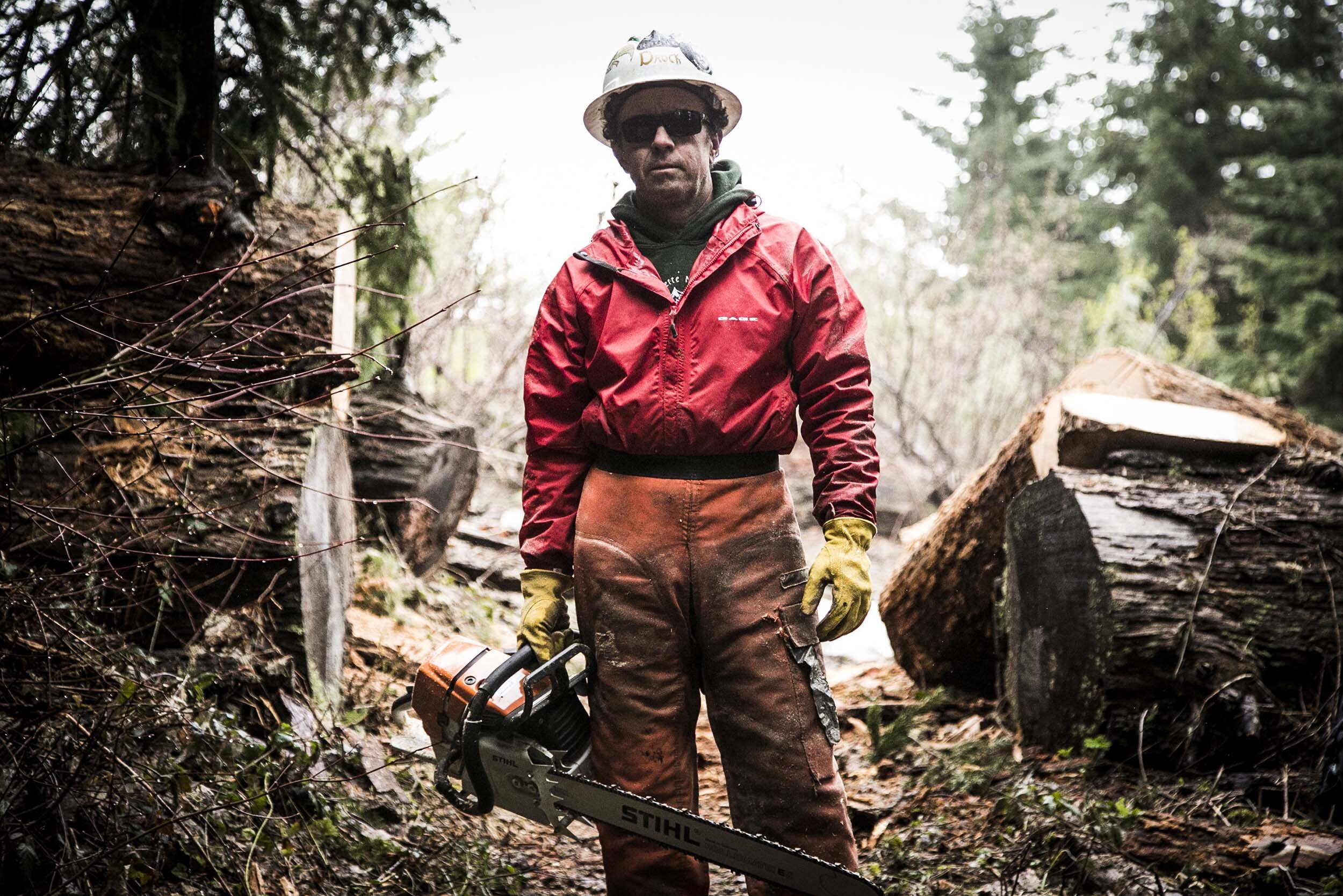
2020 Year 6 Work Project
600 Volunteer Hours Donated
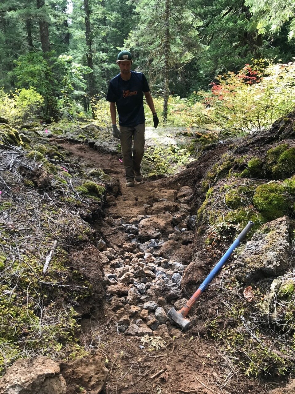
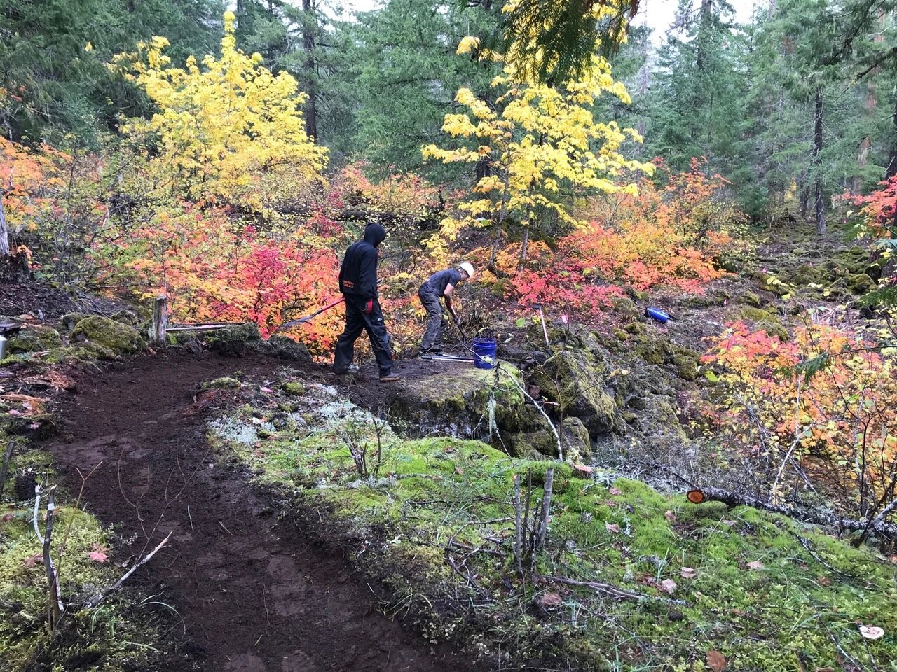
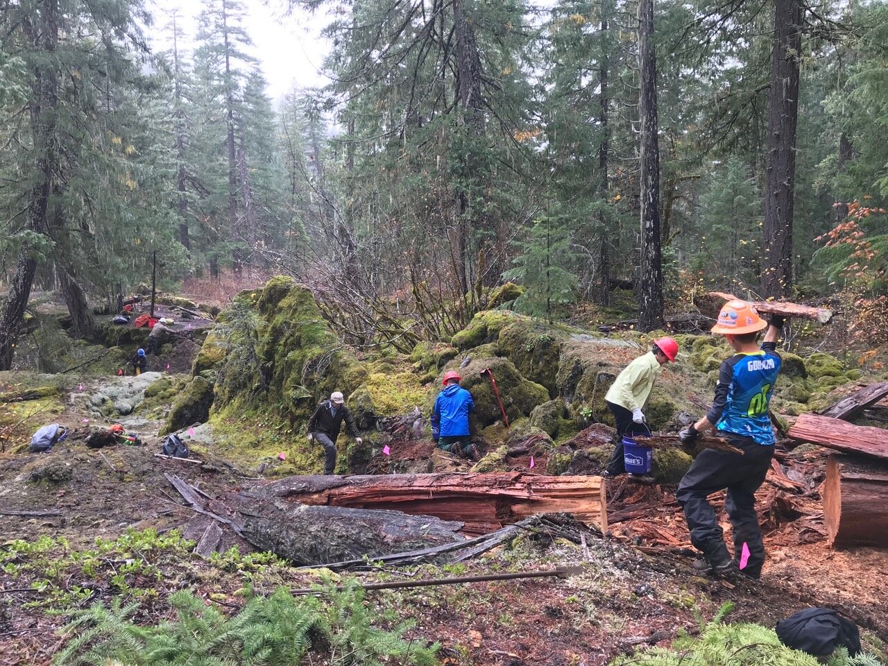
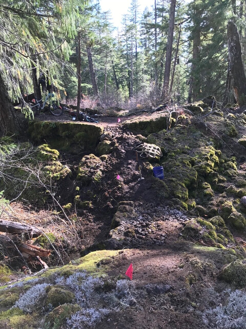
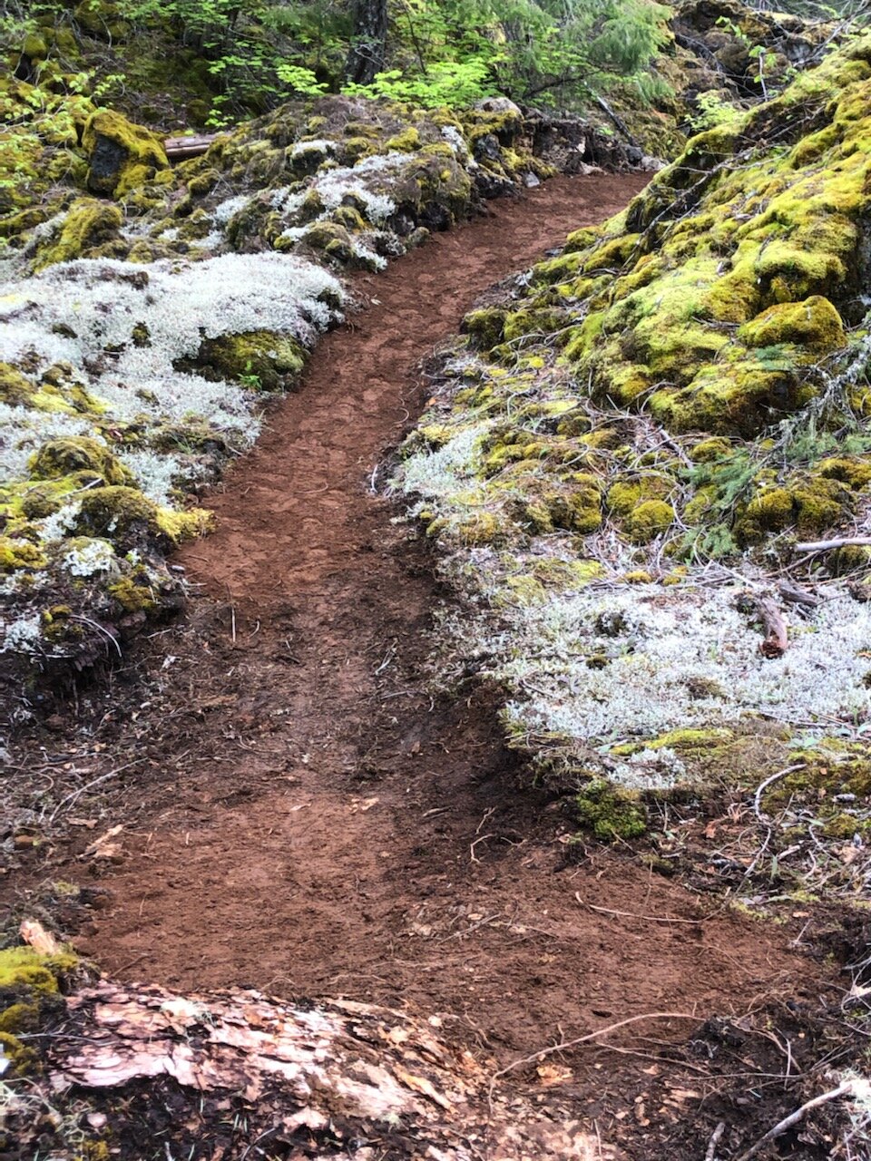
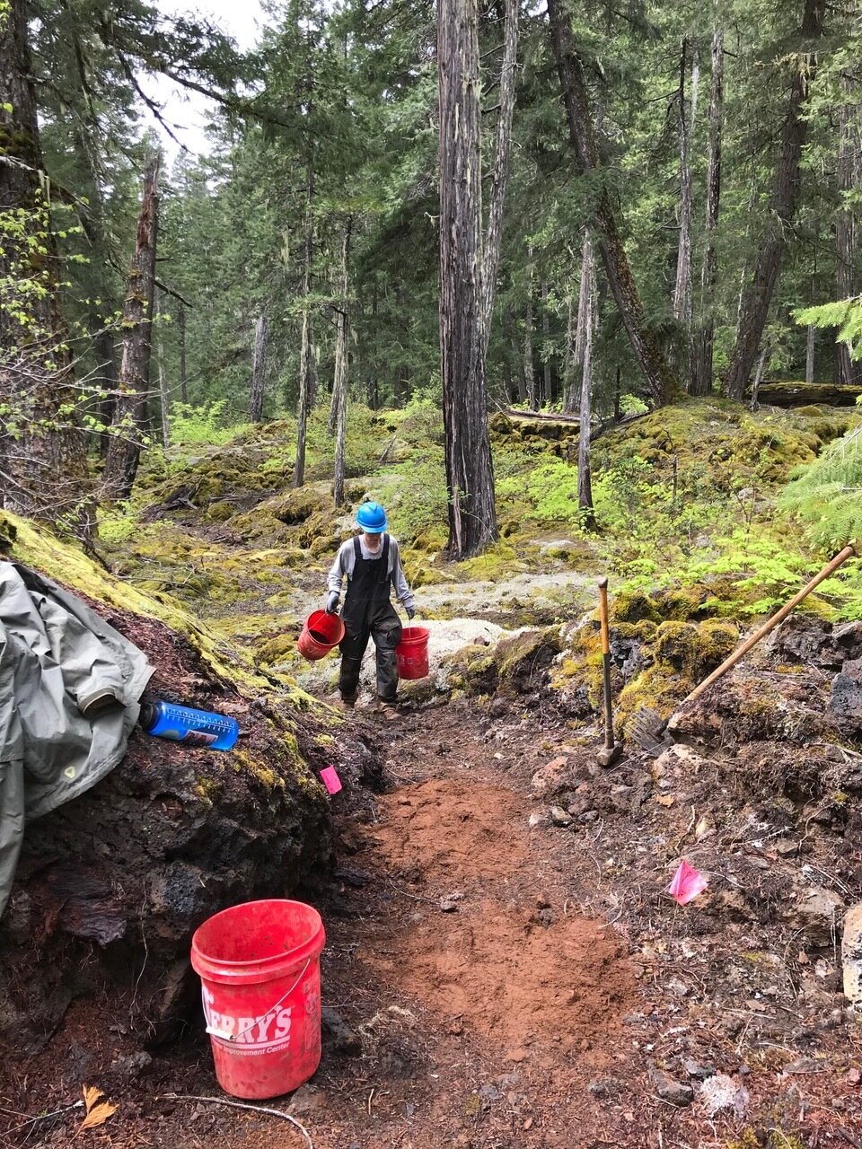
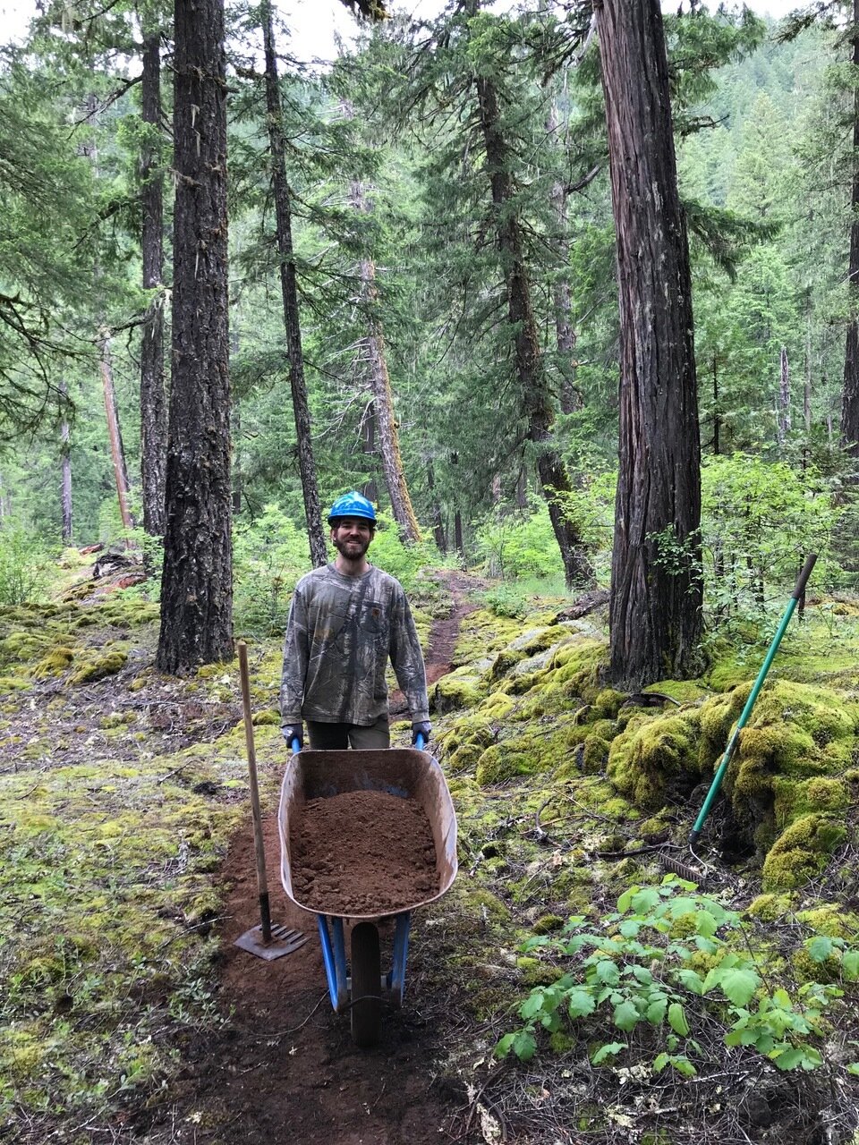
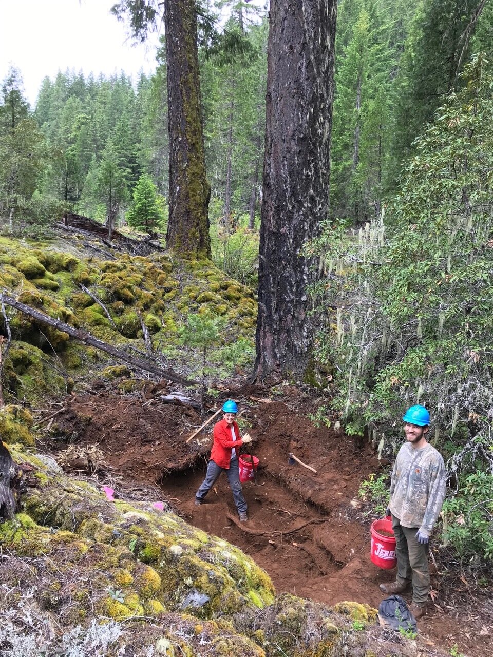
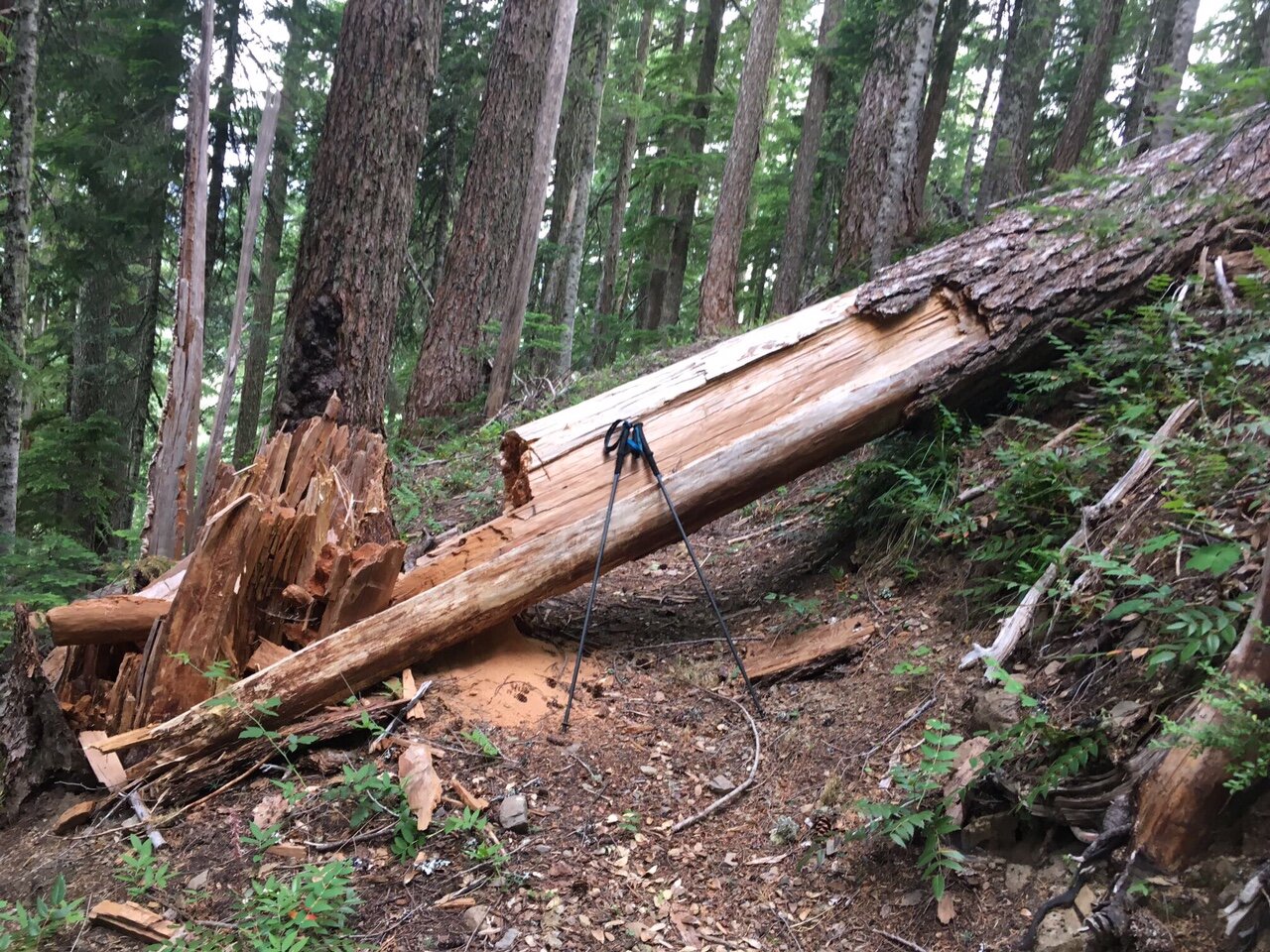
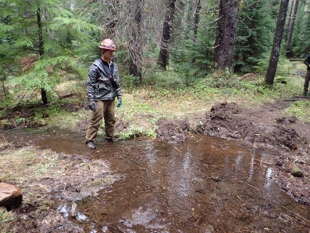
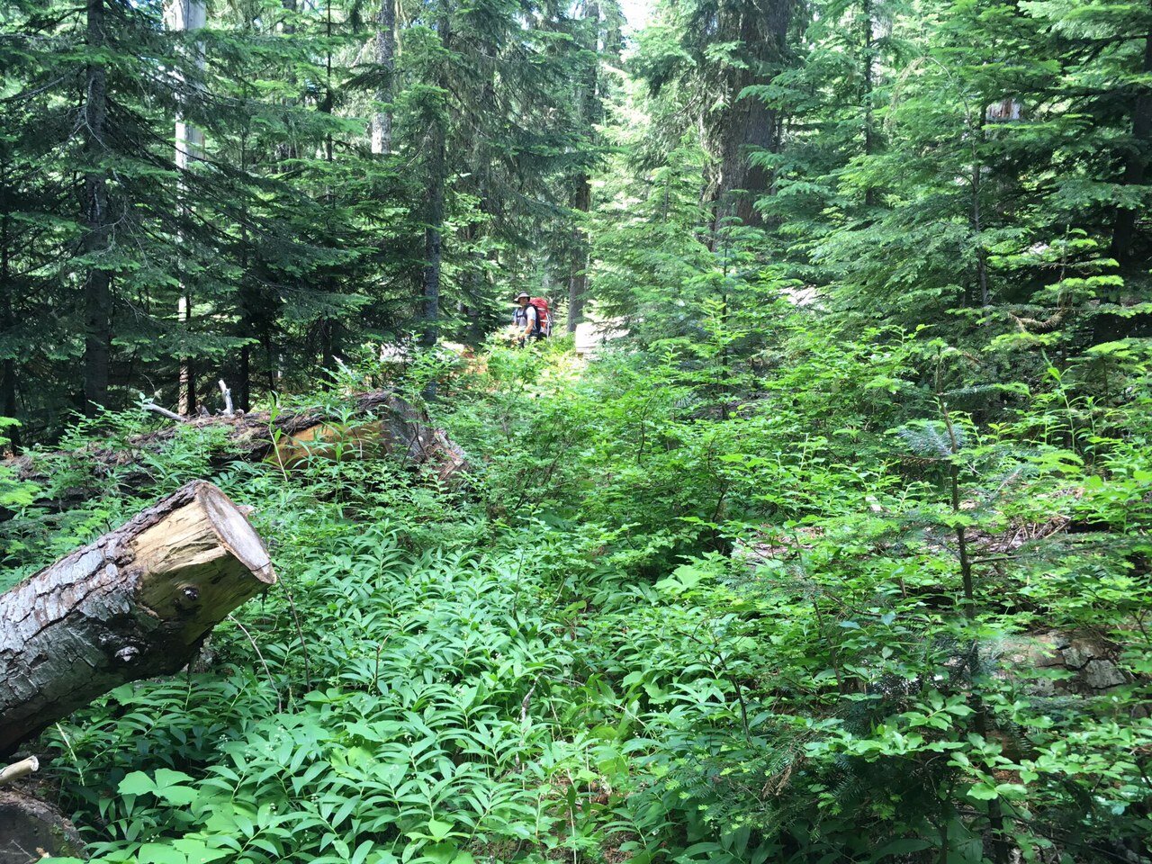
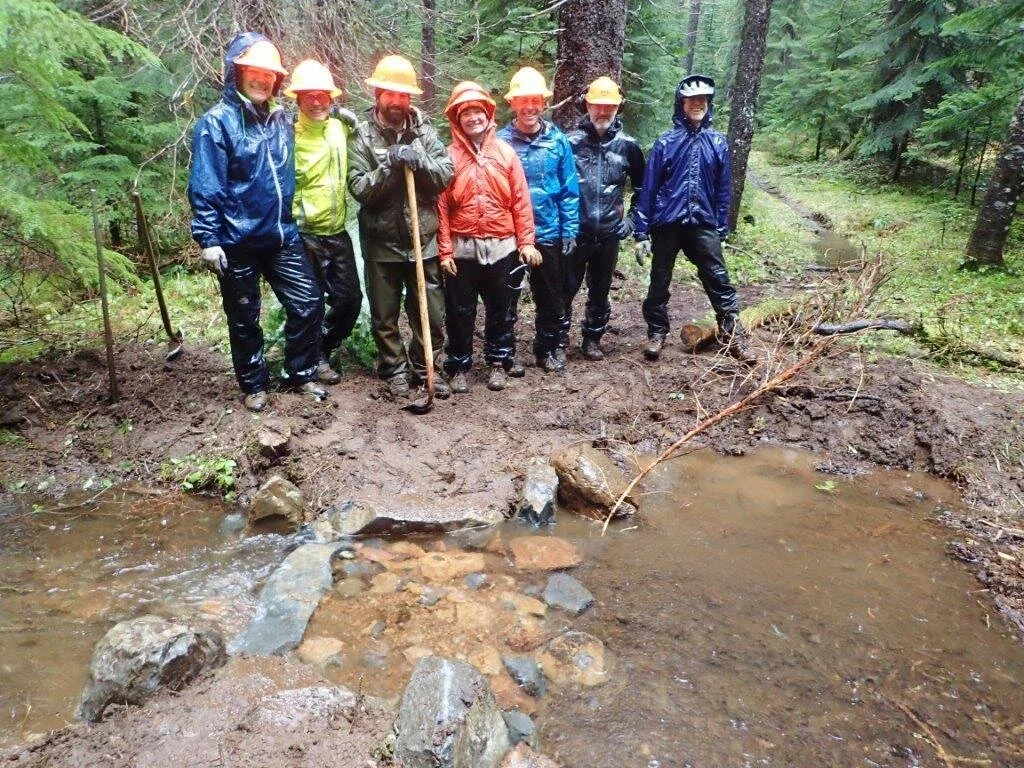
Project Zones: Blue Pool Bypass, Okanogan-Wenatchee
On hold due to Covid.
600 Volunteer Hours Donated
Project Zones: Willamette and Okanogan-Wenatchee National Forests
Project Map: https://caltopo.com/m/4UC0
RACE CANCELLED - Due to COVID-19
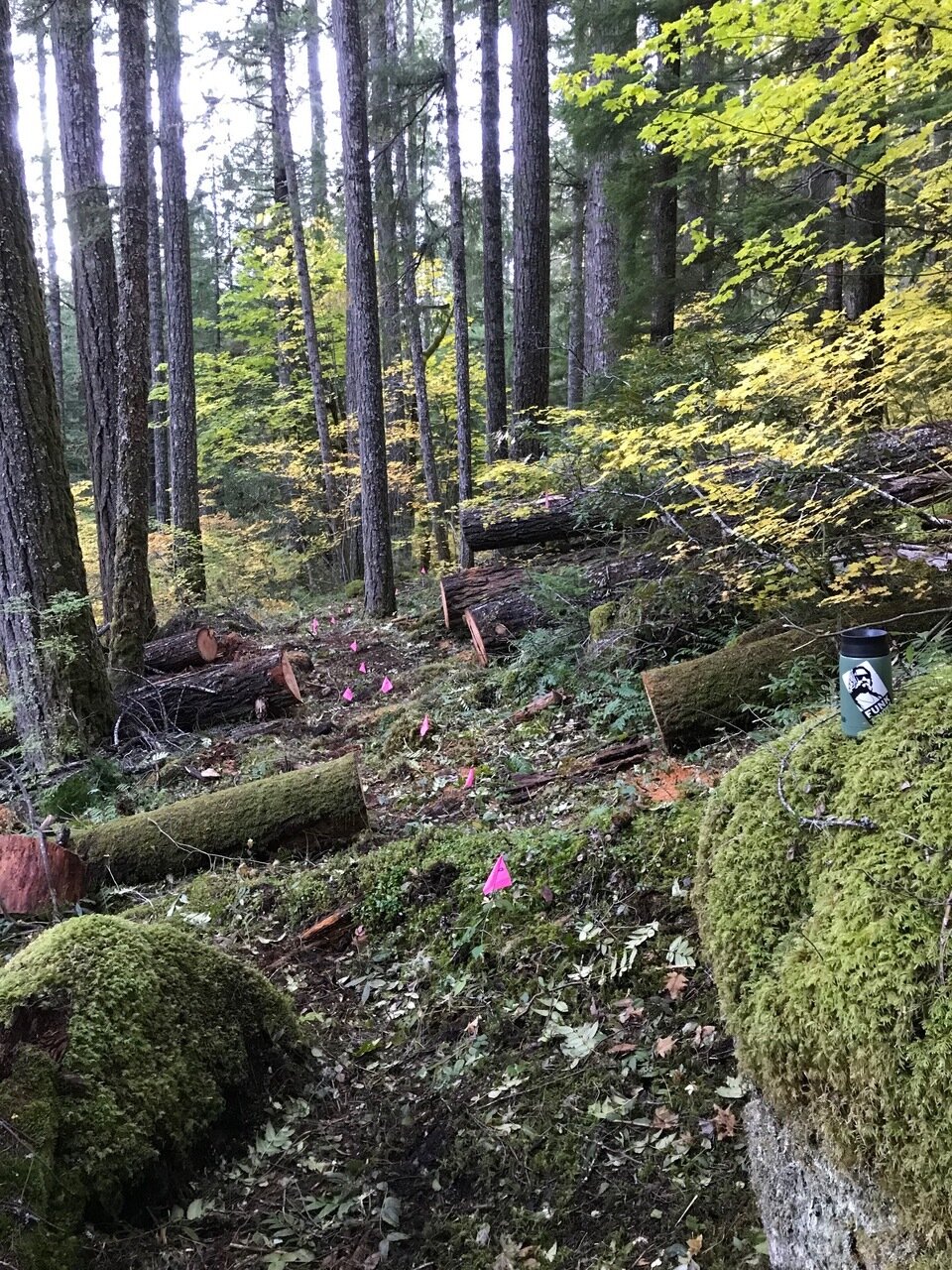
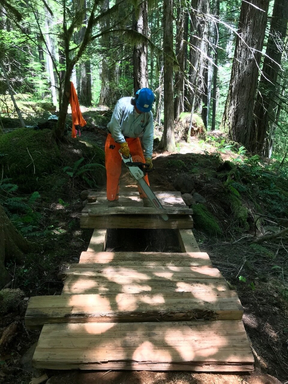
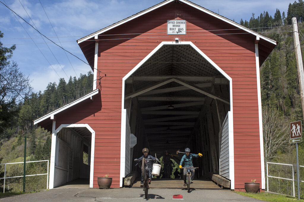
2.1 Mile Blue Pool Bypass Completed under a Challenge Cost Share Agreement with the United States Forest Service
Oregon Mountain Biking Coalition
Over the past 3 years, ourselves, along with a number of incredible volunteers from around the state have successfully founded the Oregon Mountain Biking Coalition (OMBC). OMBC connects Oregons Mountain Bike Advocates from around the state and allows for idea sharing, collaboration, and coherent messaging from the mountain bike community.
Words from Adam Craig
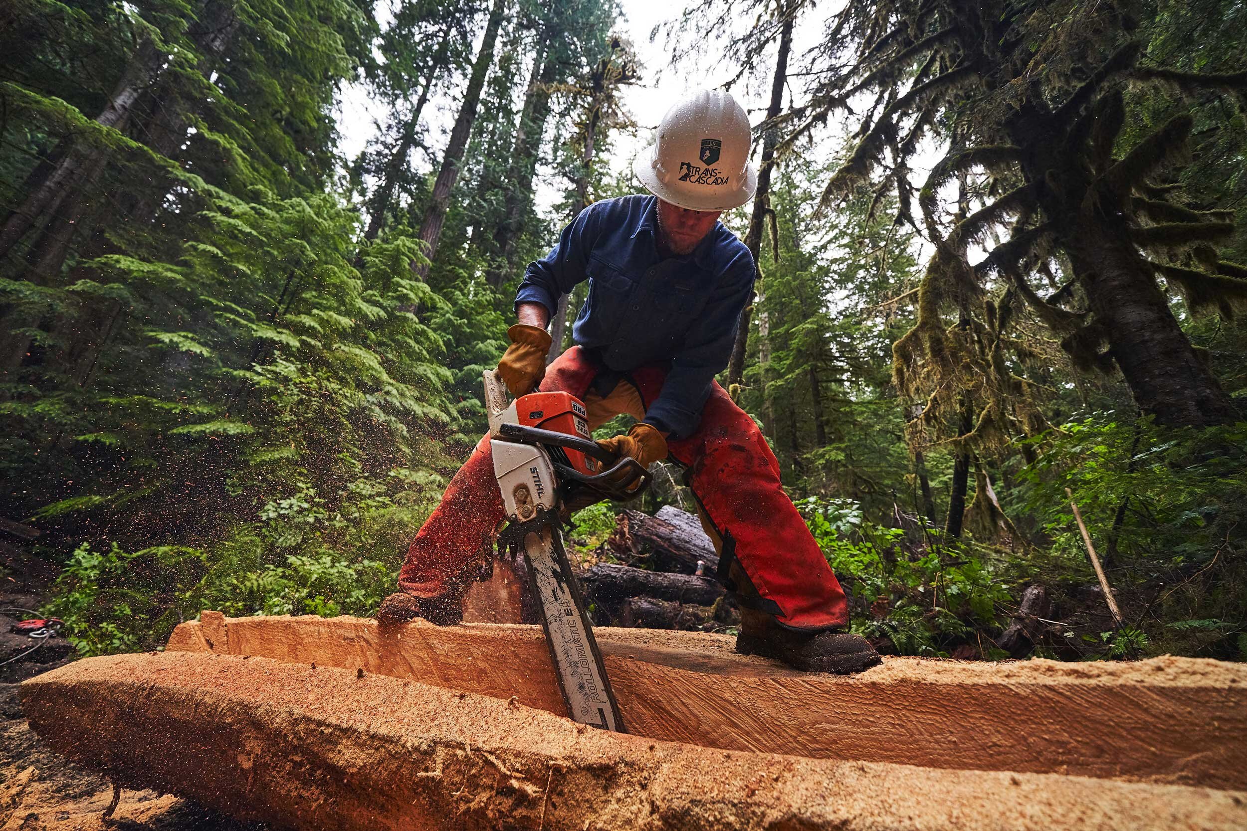
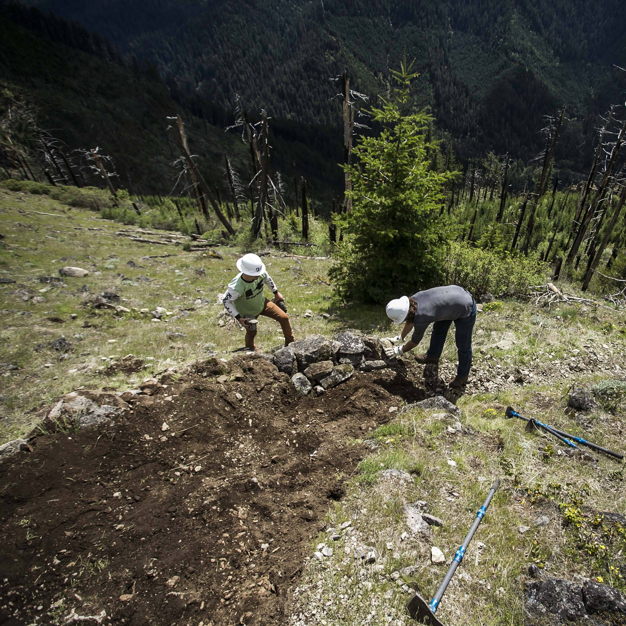
“So glad to share that the Blue Pool bypass is open! For the last year, we’ve been quietly working on providing a solution to the incredible demand for access to this stunning geological formation. A crystal clear spring is certainly a worthwhile day hike destination, and it’s great that over a thousand people per day use the fabled Mckenzie River trail to access this amazing place. But, it’s difficult to bike this section of the MRT with such heavy day use. As Trans Cascadia has been doing a lot of trail maintenance in cooperation with the U.S. Forest Service, we were approached to manage an RTP Grant to build 2.1 miles of new, Mountain Bike specific trail through this beautiful Belknap Lava Flow. In order to provide the best trail experience, Trans Cascadia enlisted Dirt Mechanics to provide the MTB building expertise, supported by some serious Forest Service and Youth Corps crew time. The final product is a work of art. Come enjoy it. While you’re in the Mckenzie valley, consider donating to Holiday Farm Fire relief, mere miles downriver needs your help.“ - Adam Craig @an_adamcraig
2019 Year 5 Work Project
5,500 Volunteer Hours Donated
Project Zones: Green River Complex, Strawberry Mountain Complex, The Dark Divide
5,500 Volunteer Hours Donated
Project Zones: Gifford Pinchot National Forest: Mount St. Helens, Mount Adams and Cowlitz Valley Ranger Districts. Continued Rehabilitation of the Green River Complex, Strawberry Mountain Complex, and portions of The Dark Divide
Project MAP: https://caltopo.com/m/AC88
Common Ground
The 3 part Series was created this year.
Words from Backcountry Horsemen of Washington
“To speak of last summer's Green River Project. Nick I work with all sorts of different folks on many different projects. The Green River Project was without a doubt one of those projects that stuck with me as a highlight of my summer. As a past moto head and mountain biker this project brought me back to my start. I loved the group of folks that we were working with! We shared a common interest and goal for our time together. As an equine user today, I fear being replaced and at the same time recognize the loss would come at cost that our trail system cannot afford. I think or want to believe the folks I was working with recognize our abilities and share in the common concern, we must work together were mutually beneficial for both parties. I look forward to future projects together and have some areas I want to share with you and your team.” - Jason Ridlon, President, Backcountry Horsemen of Washinton
Words from Washington Trails Association
"Our impact is stronger when we effectively collaborate with other user groups to care for trails. WTA works with a variety of partners to advance our common interests including restoring trails we have, planning for new trails and advocating for policies to sustain the incredible trail network we all share. The Gifford Pinchot has some incredible trails, but also a lot of old-school legacy trails that are difficult to maintain. It's going to take everyone pooling their creativity, energy and enthusiasm to make sure our children's children will share the magical trail experiences that the GP has to offer. Linking up with other groups like Trans-Cascadia, Evergreen and the BCHW to restore what we have is a great place to start on that journey." - Ryan Ojerio, SW Washington Regional Manager
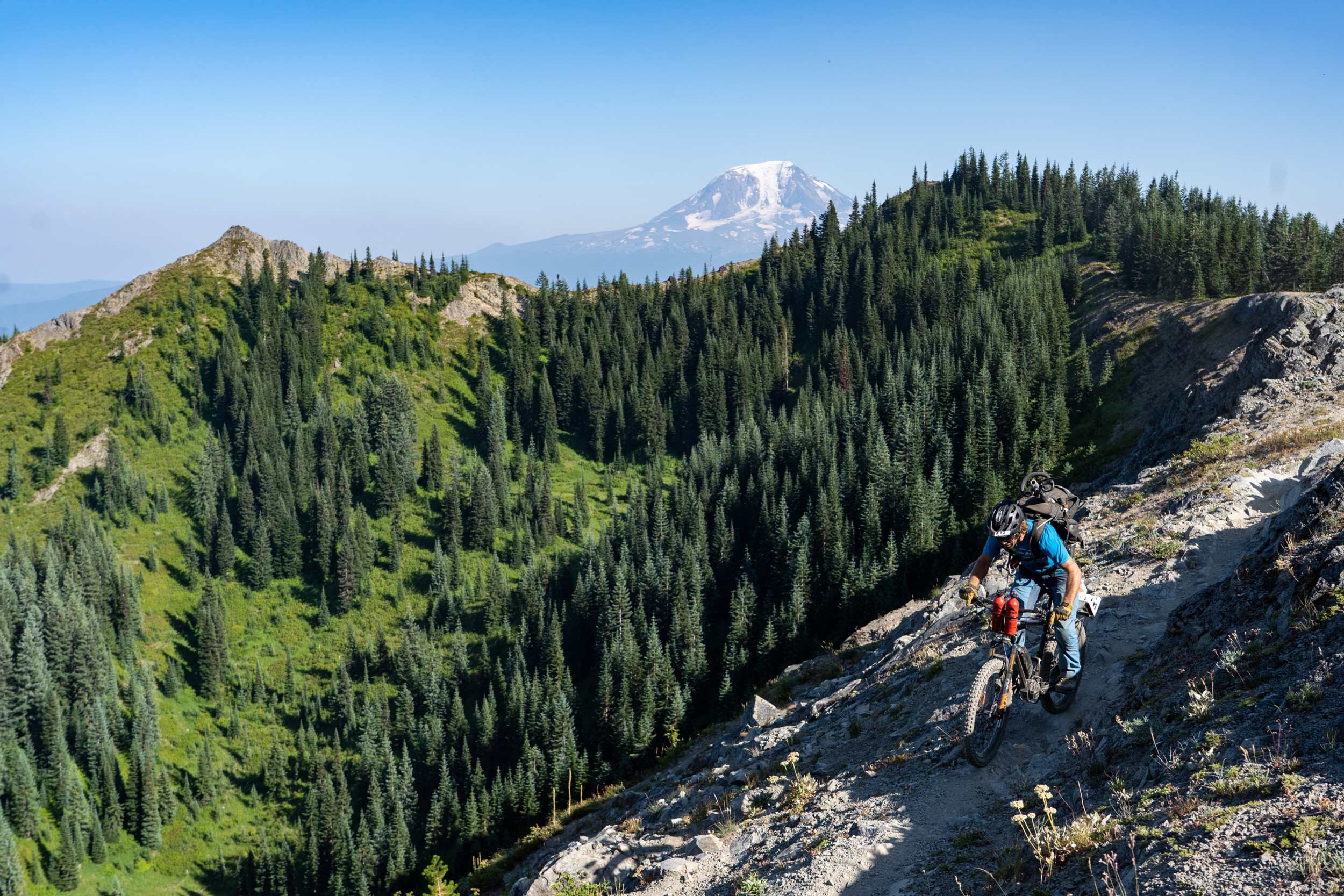
The 2019 race took place in these year 5 work project zones:
2018 Year 4 Work Project
5,500 Volunteer Hours Donated
Project Zones: Green River Complex, Strawberry Mountain Complex, The Dark Divide
5,500 Volunteer Hours Donated
Project Zones: Gifford Pinchot National Forest: Mount St. Helens, Mount Adams and Cowlitz Valley Ranger Districts. Rehabilitation of the Green River Complex, Strawberry Mountain Complex, and sections of The Dark Divide
Project Map: https://caltopo.com/m/ULCU
Scouting Reports: Goast Mountain Complex and Strawberry Mountain Complex
Words from Evergreen Mountain Bike Alliance:
“When I spoke with Trans-Cascadia for the first time over the phone in Spring of 2018 our chapter was new and we had just taken an active interest in the Gifford Pinchot. We were excited that someone else in the mountain biking community wanted to work on these trails because we knew there was a lot to do out there. What we didn’t know was just how massive the undertaking was actually going to be or how much Trans-Cascadia’s contribution was going to impact the area...for everyone.
"Years of backlogged maintenance had left a lot of GP trails in rough shape. Despite the best efforts of the US Forest Service, BCHA, WTA, VOLT, NWTA, Evergreen, etc., it’s a hard area to maintain even in the best of times. It’s constantly plagued by road access issues and USFS budget challenges only compound that. To give you some perspective on what that really means, the network to the north of Mt St Helens alone can easily see 100-200 trees come down over a winter and brush grows fast and thick. Now add in all of the motorized trails that have the same needs and that scope grows immensely. It probably would have taken our chapter 3-5 years to help make a significant impact. With TC’s help in 2018 and 2019, numerous trails got a full reset which greatly accelerated the timeline in helping us all get caught up.
TC did something that was far more important than amazing trailwork though. They brought passion and inspiration with them and I believe that had the greatest impact. Mountain bikers around the world became aware of the GP. There was a buzz across multiple user groups about what had been done. We all fostered and strengthened relationships with other user groups, made new friends, grew as individuals and became a tighter knit trail community. That’s the real magic of Trans-Cascadia.” - Tyler Forman, Evergreen Mountain Bike Alliance , Cowlitz-Naches Chapter President/State Board Member
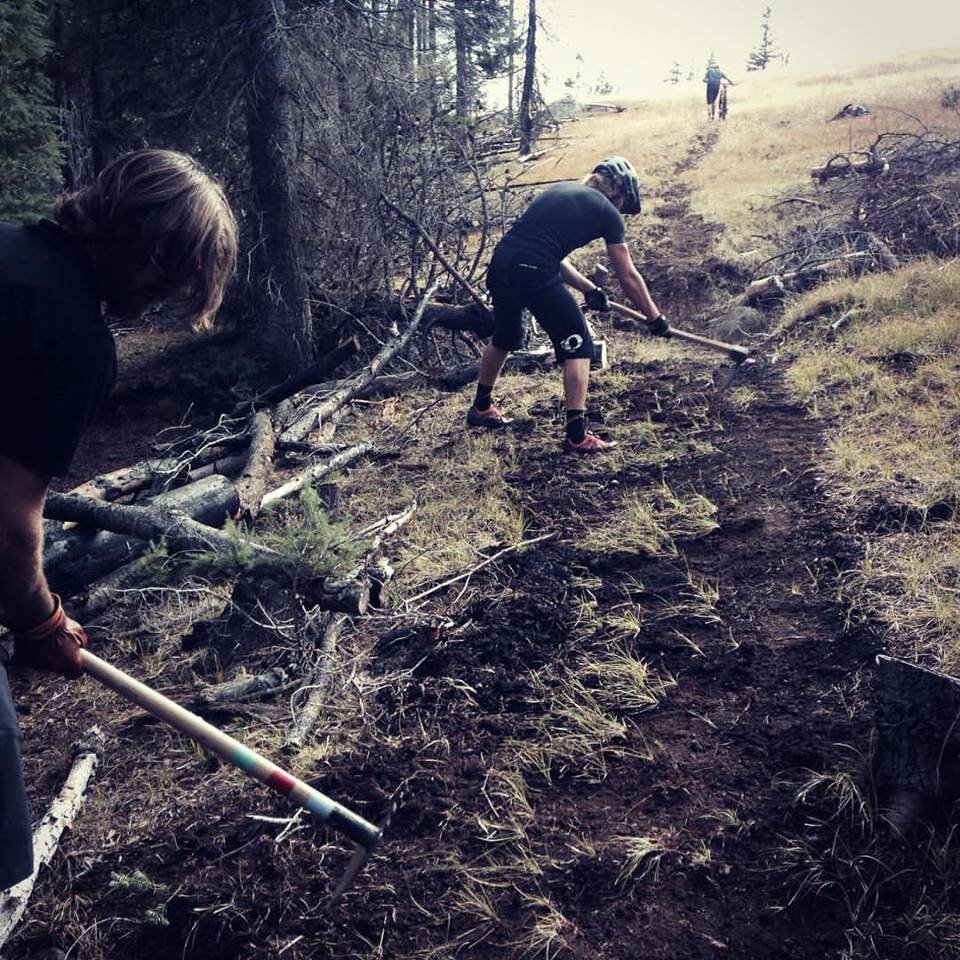
This video was created at our 2018 Work Parties
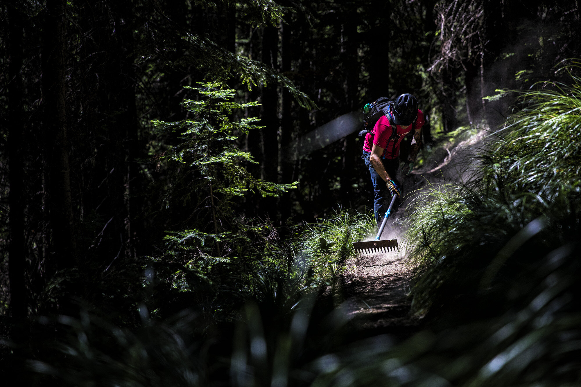
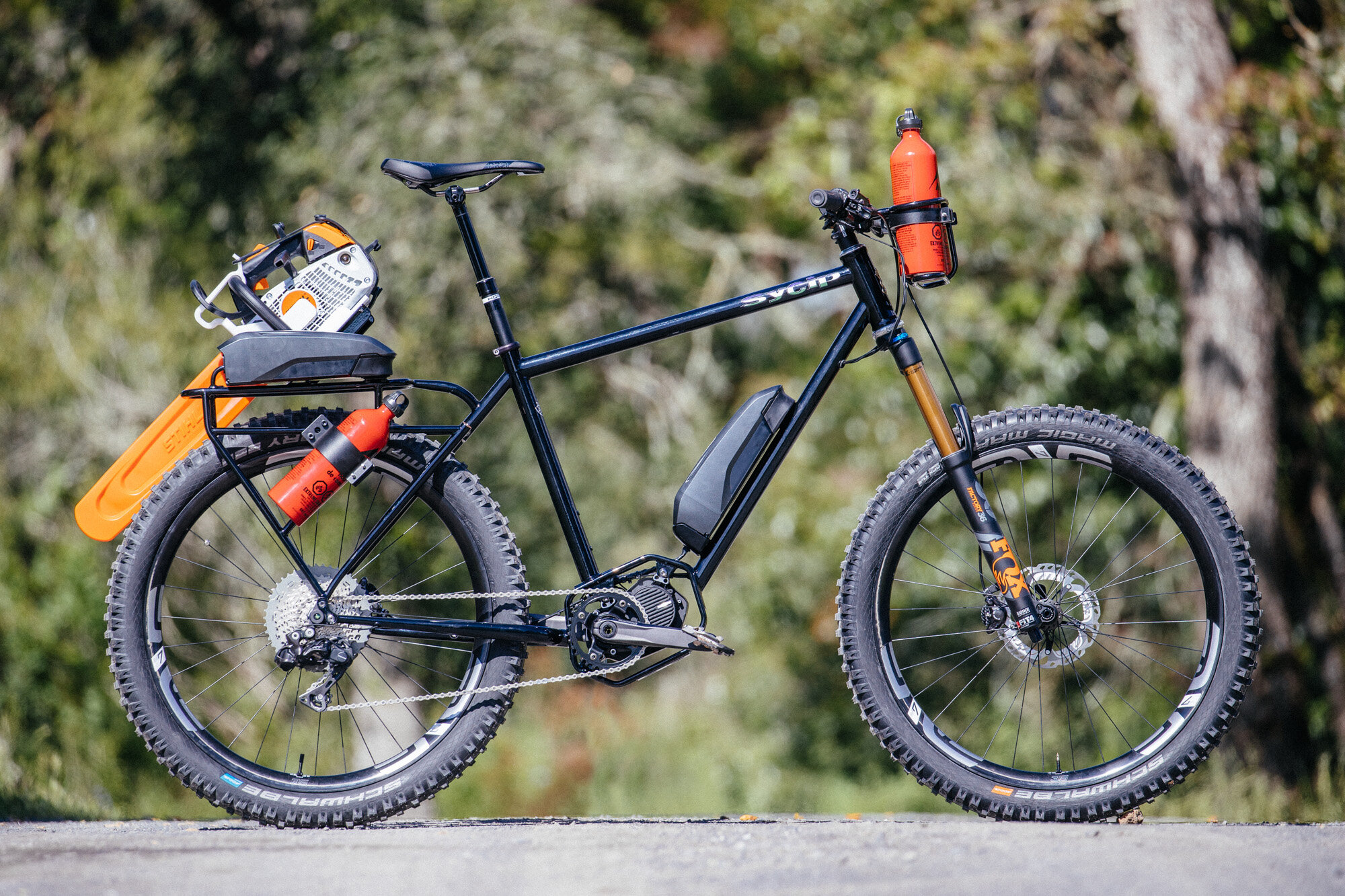
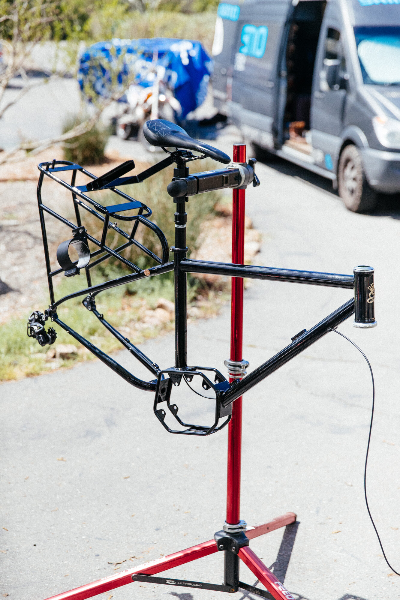
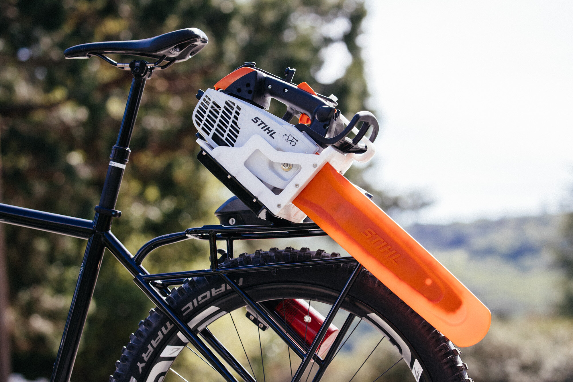
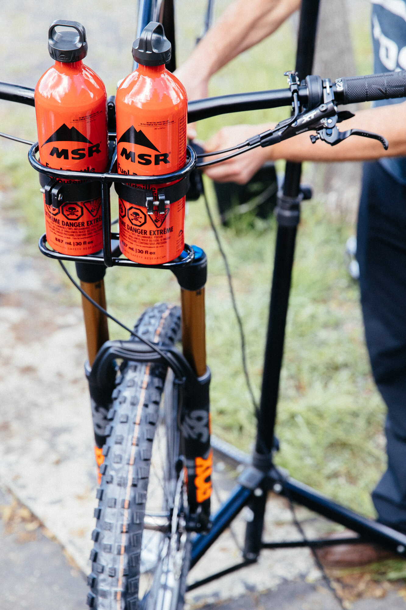
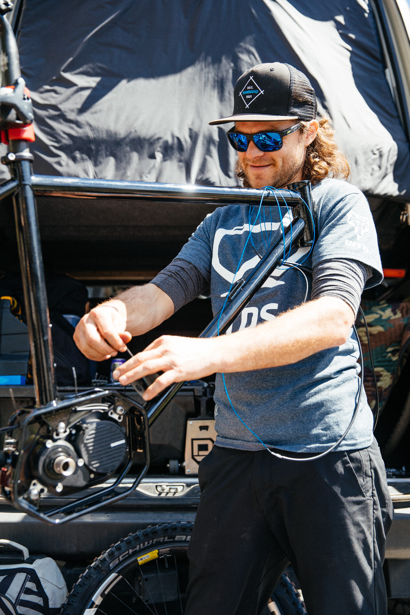
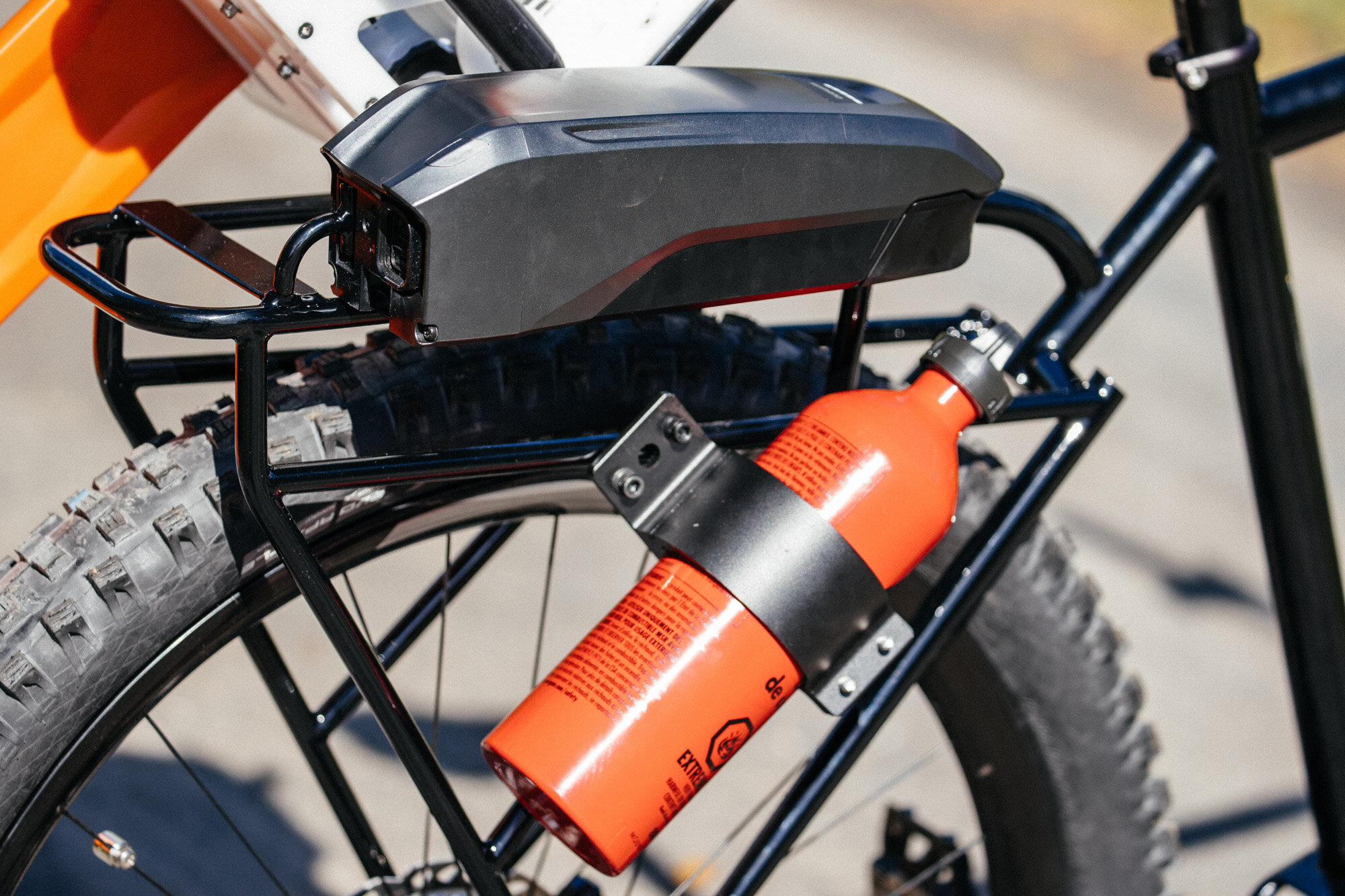
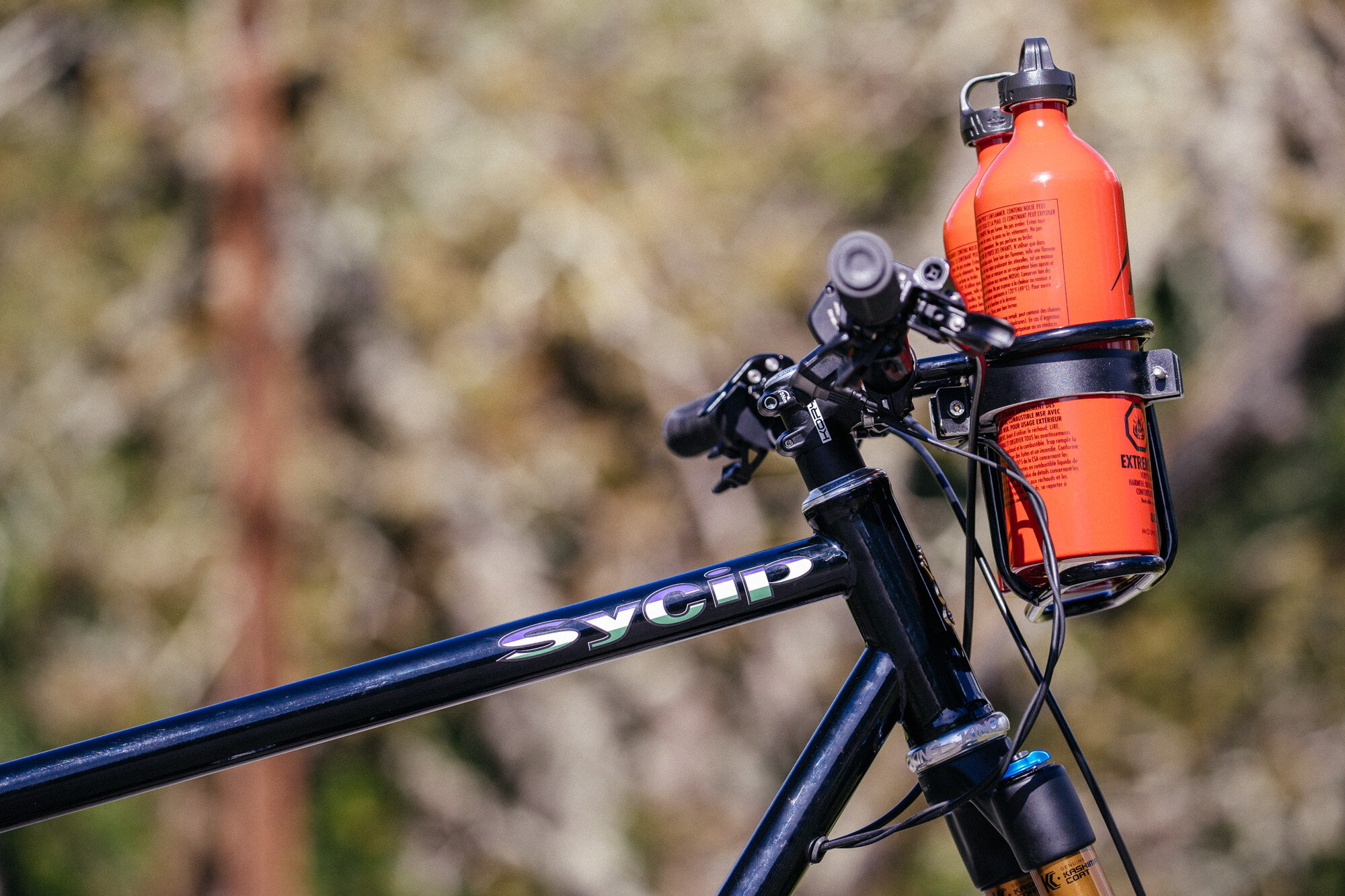
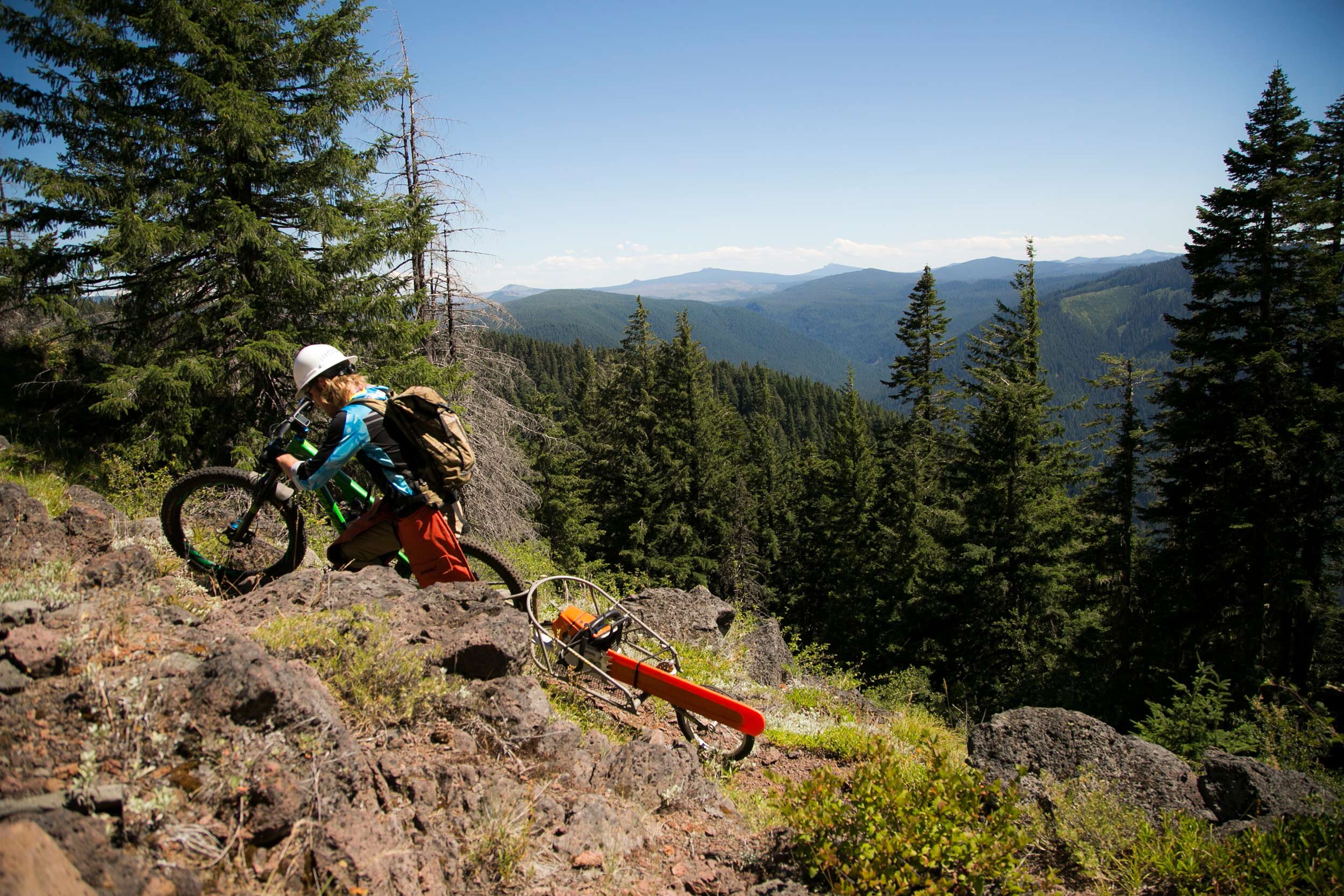
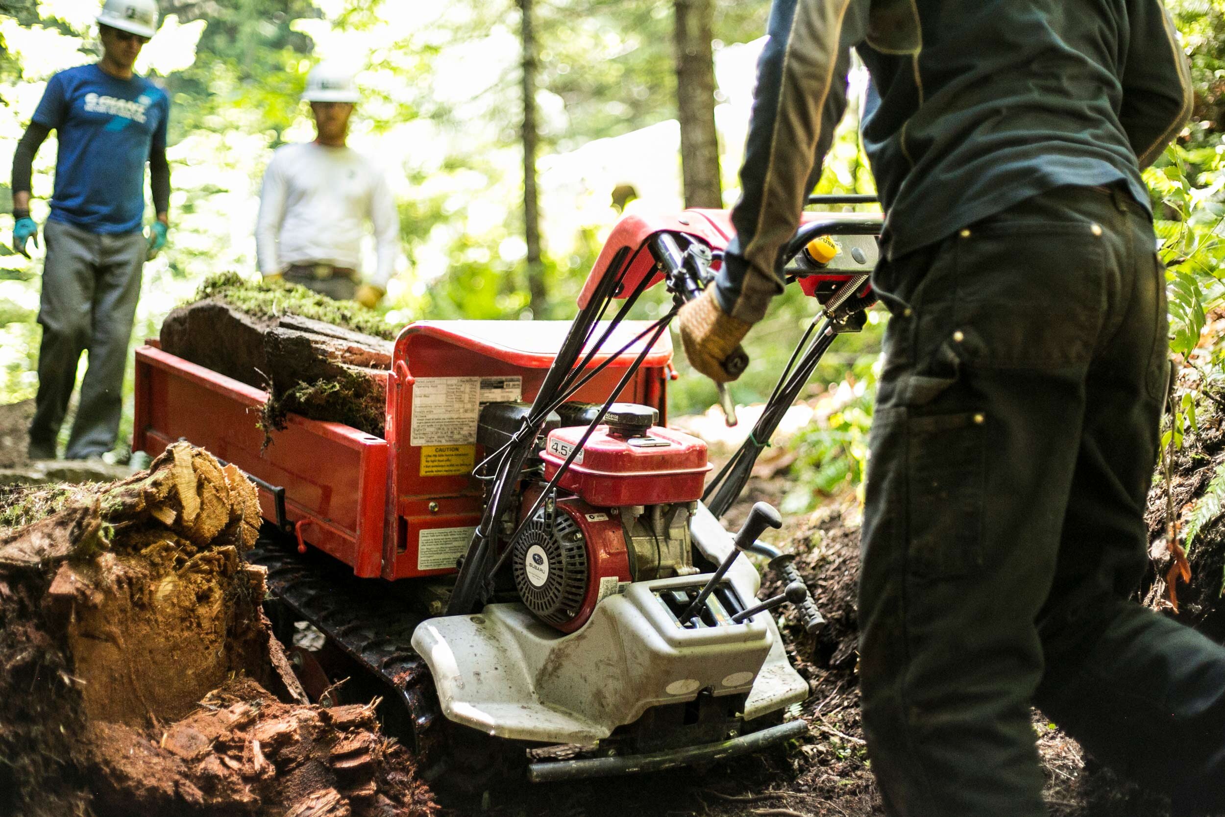
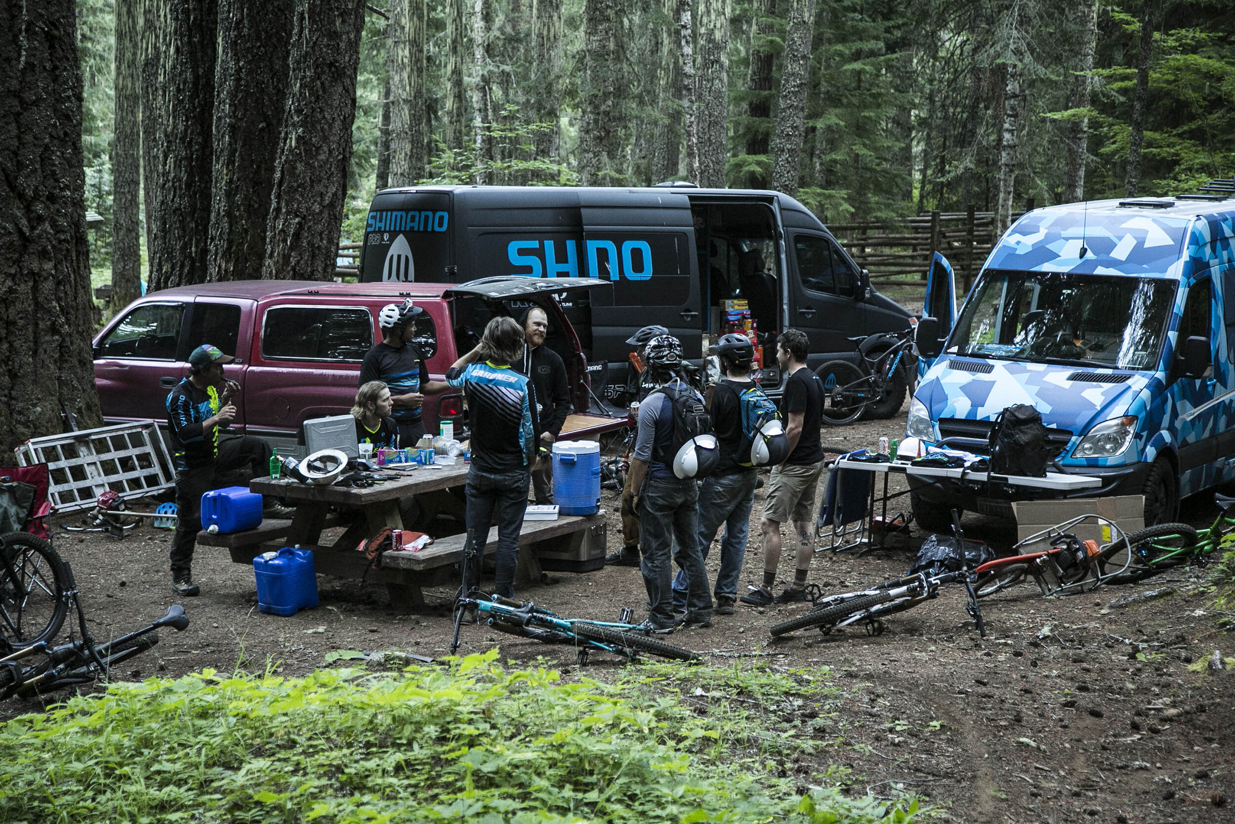
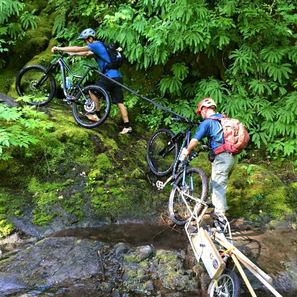
Trans-Cascadia Trail Work Rigs
Created By Sycip Designs, Shimano & ENVE
The 2018 race took place in these year 4 work project zones:
2017 Year 3 Work Project
4,500 Volunteer Hours Donated
Project Zones: The Old Cascades Crest Network
4,500 Volunteer Hours Donated
Project Zones: Willamette National Forest: The Old Cascades Crest Network
Project Map: https://caltopo.com/m/FN1Q
Scouting Report: Old Cascades Crest
Words from Oregon Timber Trail
“Trans-Cascadia has been an inspiration for the preservation and rehabilitation of backcountry trail experiences—something the Oregon Timber Trail Alliance holds as core to its mission as well. We learn from each other's successes and when possible collaborate to reopen historic trails through the cascades that date back 100 years or more. Today these trails are key to a sustainable economy in many of Oregon's rural communities. When we work together we not only identify which fallow trails would be good for an enduro course or bikepacking journey, but also which trails will become destination trails—enticing riders from all over the world to explore Oregon's backcountry. In 2017 we partnered to restore the now-popular Old Cascade Crest system, next year we're breaking ground on an Oakridge to Bend connection, and hopefully soon after that linking Oakridge to the North Umpqua or unearthing an abandoned section of the PCT in the Clackamas Headwaters. We've only seen the tip of the iceberg of what Oregon has to offer backcountry mountain bikers and the Oregon Timber Trail Alliance is proud to pull back that mossy blanket alongside Trans-Cascadia and share these trails with the world.”
- Gabe Tiller, Oregon Timber Trail Director
Film on The Old Cascades Crest Trail
Words from Alpine Running
“We are grateful for the vision and hard work of Trans-Cascadia in opening the Old Cascades Crest trails. They unearthed an incredible loop and network of trails not only for mountain biking, but trail runners and hikers. A once forgotten area has been renewed for an entire community to recreate in. Their efforts have created a solid collaboration of multiple groups to maintain these trails. We have partnered with Trans-Cascadia to continue the work they started so all can enjoy!” - Alpine Running
Published Media
Uncovering Trail Gold on Pinkbike
The 2017 race took place in these year 3 work project zones:
2016 Year 2 Work Project
1500 Volunteer Hours Donated
Project Zones: Grasshopper
1500 Volunteer Hours Donated
Project Zones: Willamette National Forest: Grasshopper
Project Map: https://caltopo.com/m/60PL
About This Project
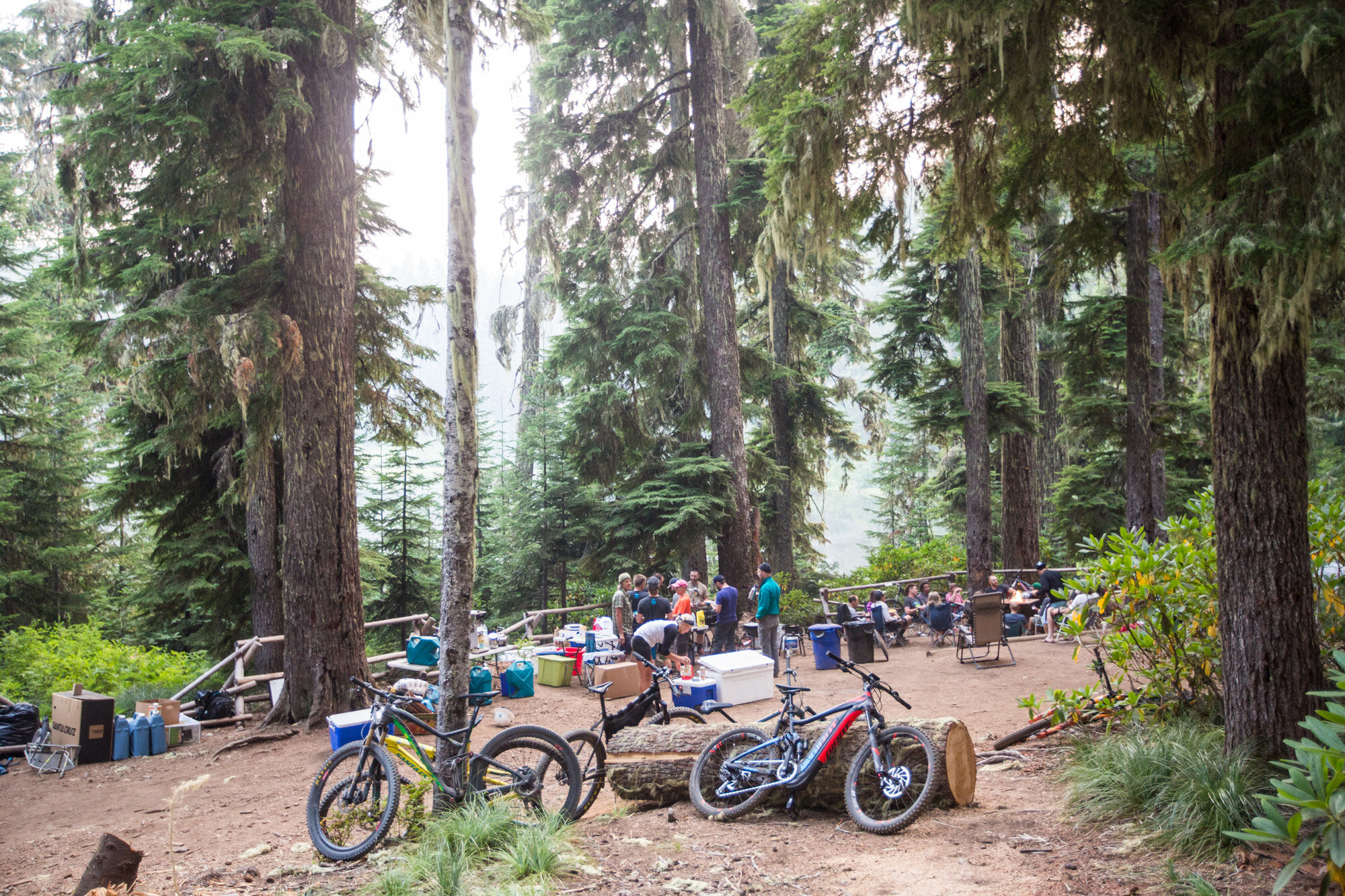
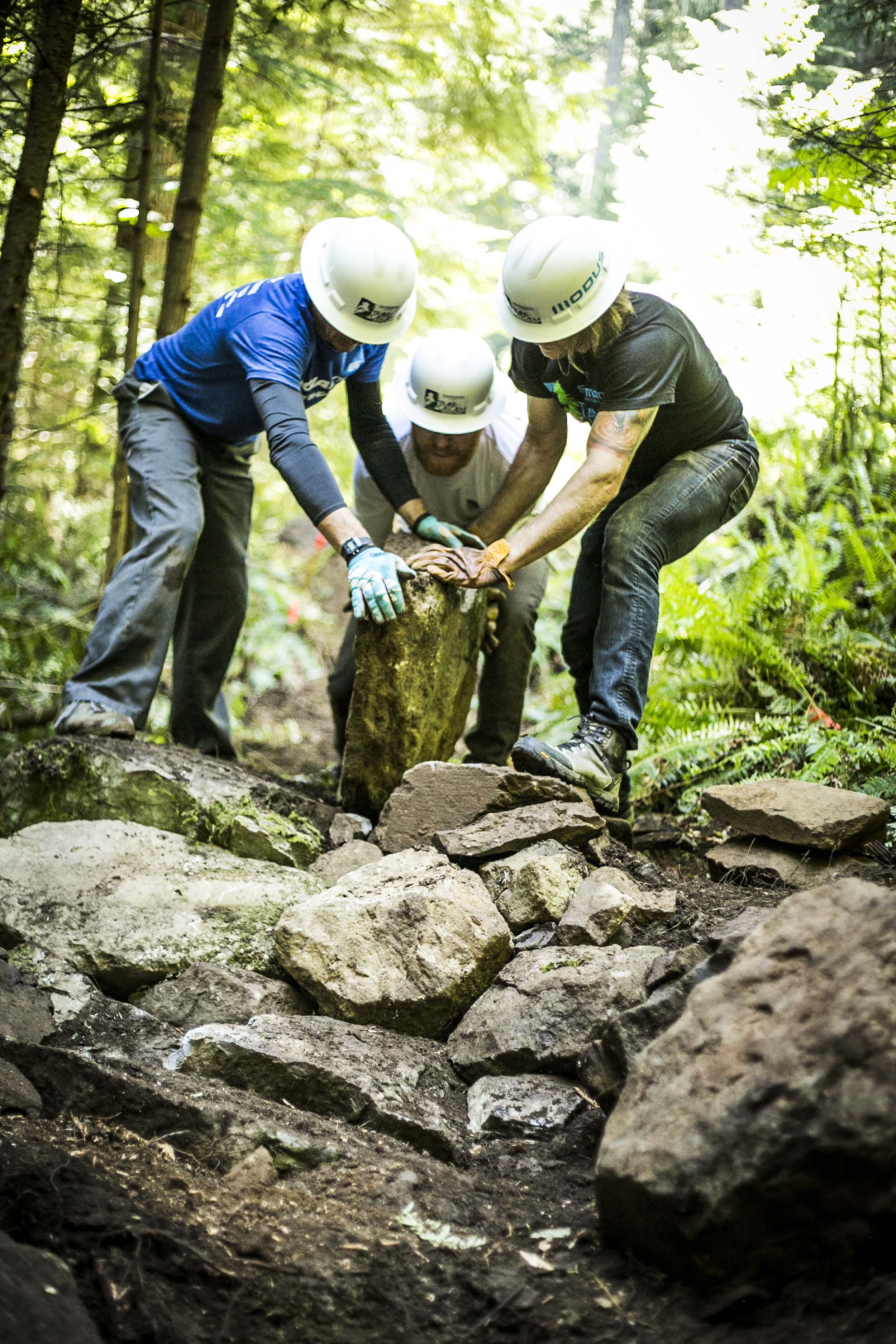
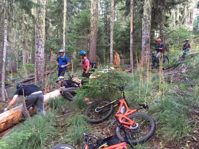
This was our second year, and we started to venture North along the Willamette National Forest to the McKenzie River Ranger District. 60% of the Race was still on the Middle Fork Ranger District in Oakridge, but we needed to find new trails for the 2016 Race and the close proximity to the Oakridge area by a quick little drive up the Aufderheide and this was a clear next step for the event. This was also a year of evolving in our Trail Work Efforts and so was born our Work Parties. We held 4 formal work events this year, each with a different group of people attending, including our Title sponsors Shimano and Santa Cruz and the fine folks from local PNW retailer EVO. Each of these groups donated time, money or tools to the cause and were a huge factor in opening up and maintaining our backcountry networks this year.
On the Middle Fork Ranger District, we still had work to do to get Grasshopper up and running.
The McKenzie River Ranger District is home to the McKenzie River Trail, a trail known for it’s majestic waterfalls and sapphire blue pools of crystal clear river water and peppered with Old Growth Trees. Adjacent to this beautiful landmark is a trail network called Ollalie, Olearie, Kings Castle. Considerably more primitive, we focused 2 of 4 work parties in this area in search for new trails and maintain existing trails.
Behind the Scenes Year 2 Work Party Video
The 2016 race took place in these year 2 work project zones:
2015 Year 1 Work Project
1000 Volunteer Hours Donated
Project Zones: Grasshopper
1000 Volunteer Hours Donated
Project Zones: Willamette National Forest: Grasshopper
Project Map: https://caltopo.com/m/60PL
About This Project
In the never ending search for trails to ride and staying true to our blind race philosophy, word was out amongst our community that we were interested in finding and maintaining our backcountry trail networks. Our USFS contact on the Middle Fork Ranger District (Oakridge) was nice enough to share with us some of the trails he felt fit our event needs as well as checked the boxes on some of the USFS deferred maintenance backlogs. An unsaid exchange of volunteer labor for trail information, sweet, we were excited! The topography, the depth of backcountry and the uniquely meadowed landscape was such a sweet treat to stumble upon.
As we look back on our first time setting wheels on this trail, it felt pioneering. Moments where the trail would end and we’d be left searching for any remnants of what was once a more defined mountain top pathway.
The Grasshopper Stage of TC, as we ran it in the race was a Point to Point, beginning at Grasshopper Point to the bottom of Box Canyon and Road 19. It’s a nice little 12 mile bike ride with +2467 of Ascent and -4166' of Glorious Backcountry Descent. Just 12 miles huh? Yep, a comprehensive 12 that you’ll forever remember.
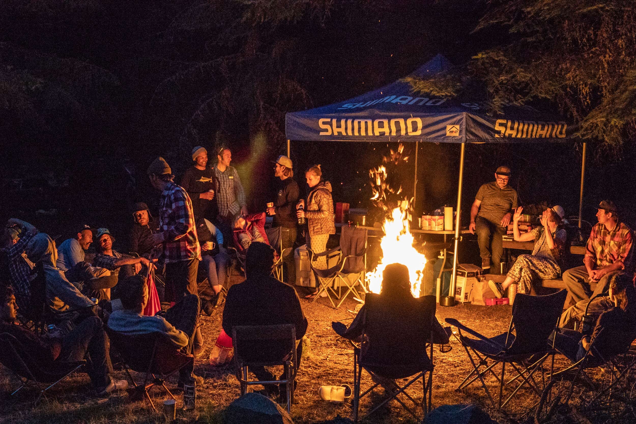
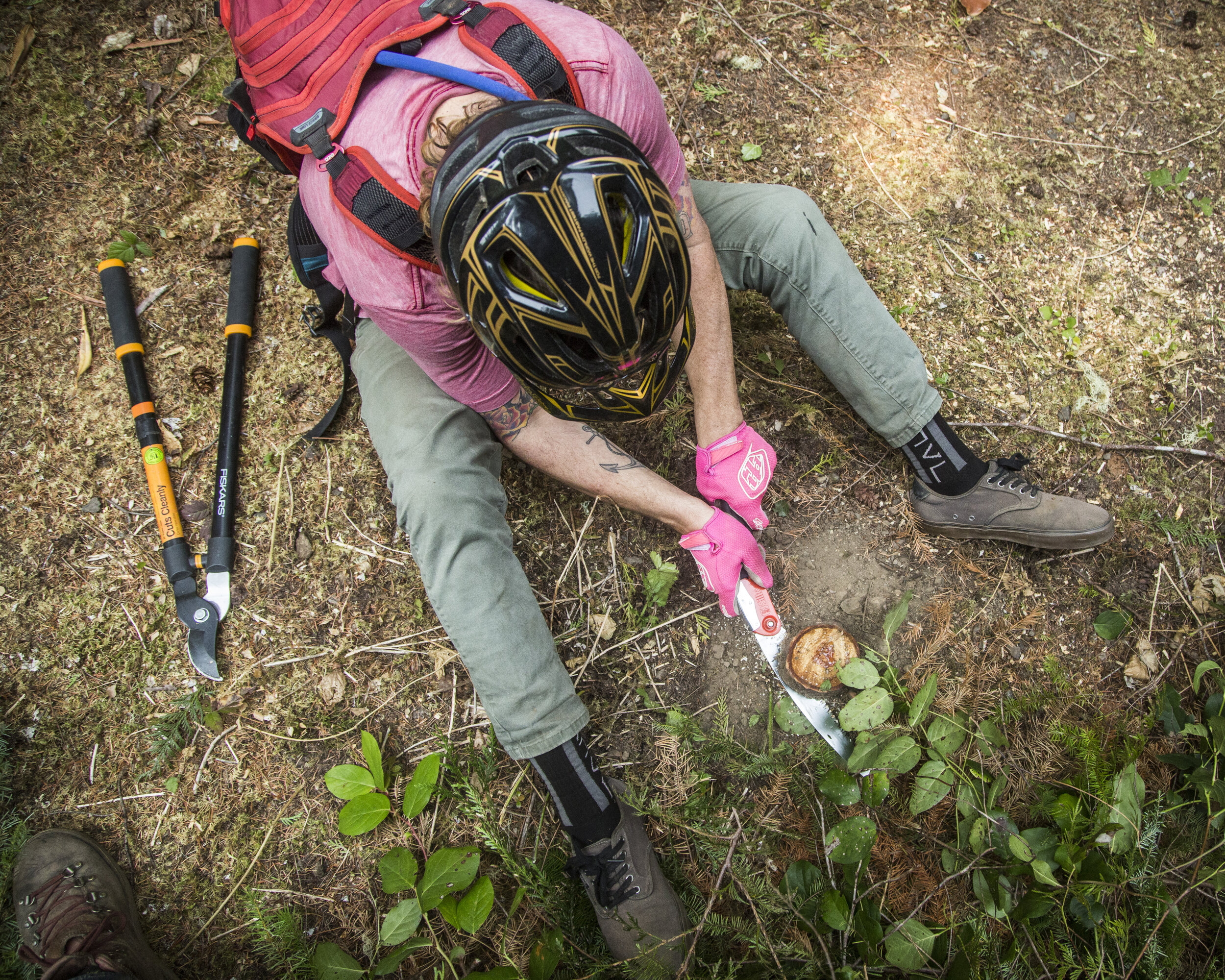
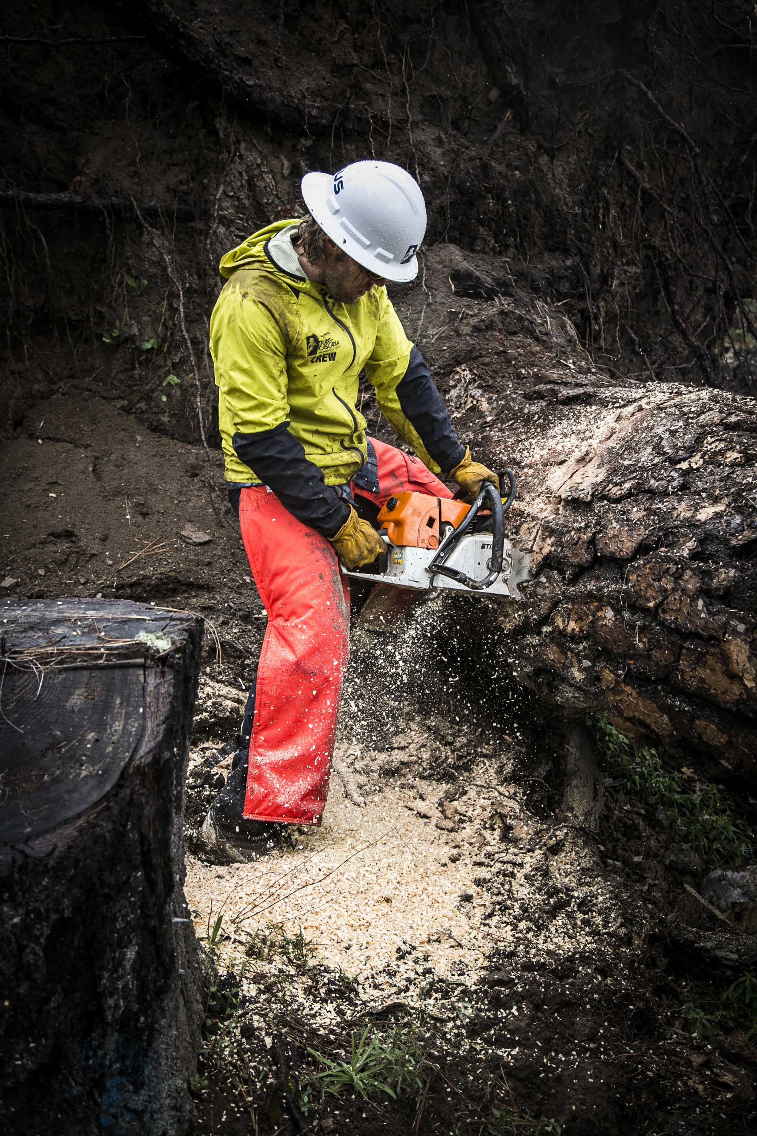
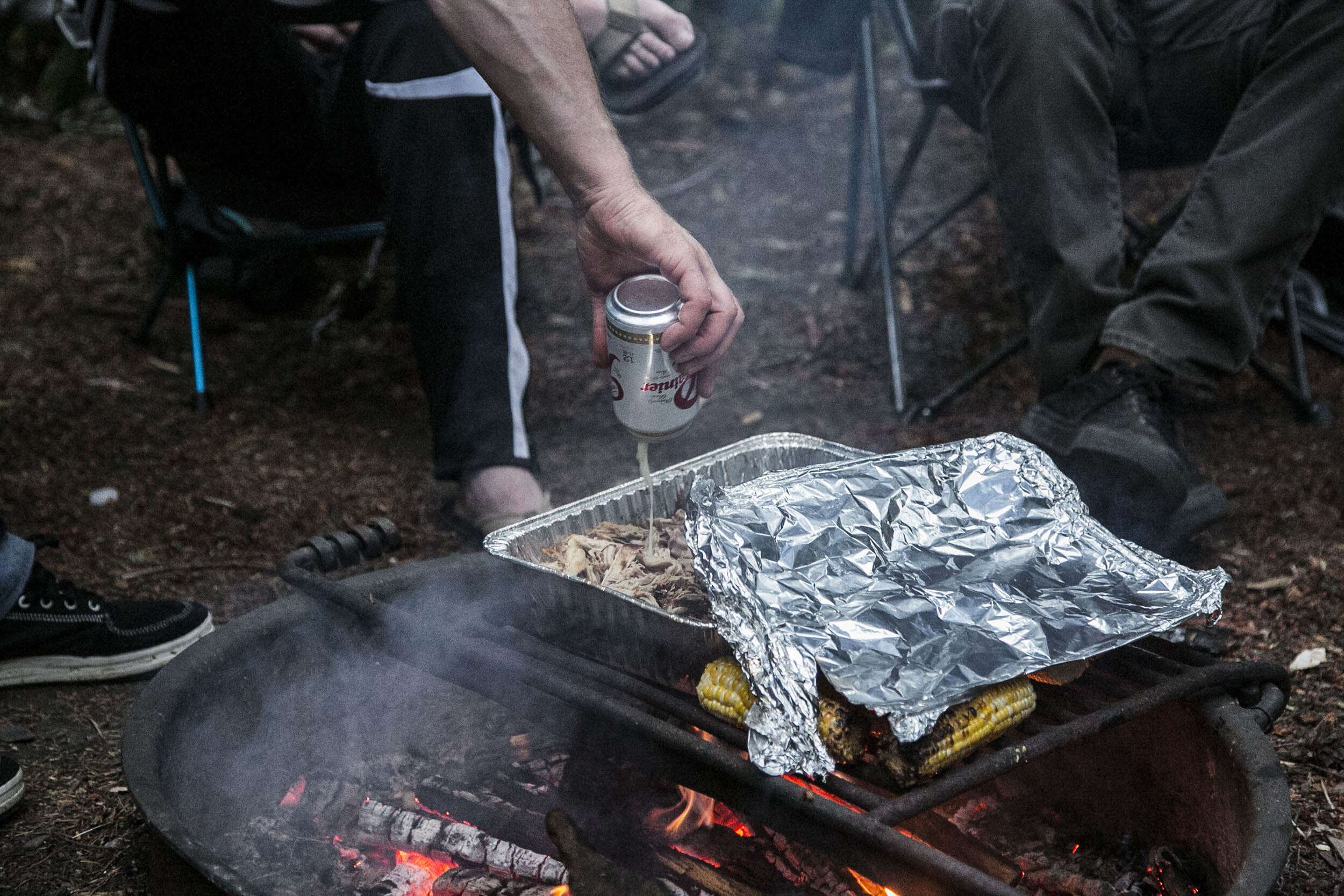
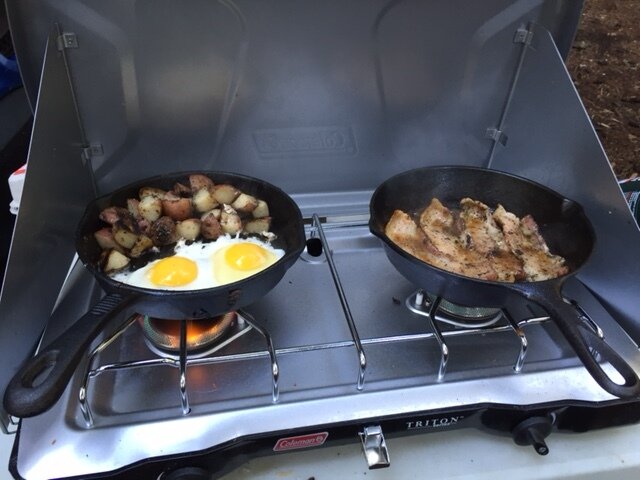
As the trail sat, it was unrideable. We needed to get it running if we wanted to use it for the event which meant cutting hundreds of downed trees and miles of brush work. A small group of us took a stab at this maintenance backlog in the Fall of 2015. For a few days we camped out at Box Canyon Campground, lit large fires, drank whiskey and consumed copious amounts of well executed camp cooking. We then proceeded to break ourselves off each day, working long days, with eyes wide open at the thought of cutting the trail out and turning it into one of the best backcountry rides in Oregon. To this day, the obsession to care for this trail continues. On any given day in the summer you’ll find one of us, likely alone, maintaining a sweet little piece of mountain bike paradise.
The 2015 race took place in these work project zones:
2018 Scouting Report - Goat Mountain Complex
Dates: July 6-9, 2018
By: Beth Dayton and Kim Lively of the Salem Area Trail Alliance
The following is a summary of findings from a hiking survey, described in the order the trip was made. A detailed Avenza map document contains waypoints, a track with elevations and distances and multiple photos. The write-up wil make more sense if you follow along on the map.
Green River Horse Camp
Easy to find using directions provided by Trans-Cascadia. Drive time from Cougar to camp was 1 hour 45 minutes. FS roads 99 and 26 have a smooth paved finish but multiple surprise sunken areas that can send you airborn at normal speeds. Gravel access road is in excellent condition. The camp has no potable water, one pit toilet and about 6 camp sites with tables and lots of flat open ground. A 100 yard trail leads to the creek with nice bathing holes and clear water. Use appears light; one party camped there the two days we saw it.
Trail 213: Green River horse camp to TH on FS 2612, 1.1.miles
No logs, light brush. Sandy pumice soil with deep trenches up to 16”. One bridge with severe dry rot but intact. Elevation: Start 2840, end 3170.
Trail 217: TH at FS2612 to saddle on Goat Ridge, 3.7 miles
Elevation start 3170, end 4900, max 5000.
TH has large gravel parking lot. Start of climb is soft pumice soil with gullies to 20” deep, some marginally wide enough for pedals. Relentlessly steep. As pumice ends and loam begins, nice trail bench up to 24”. Traverse of ridge top with great views of St Helens and Adams, sandy to rocky, very steep side hill, in places 80-100% ; minimal brush, one log (12”) about 1 mile from TH at FS 2612.
Trail 217: North side of Goat Mtn Ridge, from saddle to Deadman Lake, 1.6 mi
Start 4900, end 4300 ft. Almost entirely downhill. 14 logs up to 18”,lots of woody debris in trail, good 24” bench. Very brushy, lots of mosquitos. Confusing intersection of user trails at junction 217 and 218 near Deadman Lake. Lake has several nice campsites with easy water access, going clockwise from access trail.
Trail 217 from Deadman Lake to junction with 205, 2.4 miles
We did this as an out and back from the lake. Undulating trail with steep ups and downs on wooded ridge, just a few peek-a-boo views of Mt Adams. Some gullied areas on fall line tread, up to 20” deep, and narrow. 25 logs, largest 10-12”. Intermittent heavy brush, huckleberries mostly; woody debris.
Trail 218 (Tumwater Mtn) from junction with 217 to Junction with 205, 9.4 miles.
From 217 to small pond: Pond is shallow and marshy, likely will dry up by end of summer. 160 logs, some are double or triples. First 40 at south end are small, most could take hand saw, then increasing in size to 24” further north. Tread narrow, about 12”’; in some areas with no understory the trail is not visible at all. Other areas with heavy brush, mostly huckleberry. Lots of woody debris, down limbs, etc. No water. High point on Tumwater ridge: dramatic view of Mt Adams and Mt Rannier from rock outcrop. An amazing photo op in clear weather. We did not see trail 218a to the top of Tumwater, but may have thought it was an abandoned trail.
From pond to 205 junction: Nice even grade, 10-15%, looks like could be a good climbing trail, drops 2400ft in 3.4 miles. Wide bench to 36”. Multiple water crossings, shallow and rocky. One sharp corner with major exposure; miss this turn and die. Total 73 logs, getting larger at lower elevation; brush increasing at lower elevation along creek. Many logs over 24”. Largest is labeled log 62 on Avenza map, less than a mile from 205 junction: at least 50”, lying on steep side hill, second 30” log parallel and touching it. Tracks show hikers going uphill around it; pretty scary to climb over with a lot of exposure and slippery surface. If it can’t be cut out, at least cut steps to cross safely.
Beautiful series of small waterfalls, mossy creek beds, big trees, cedar and Doug Fir.
Trail 205 from Jxn with 218 to Jxn with 217: 4.1 miles
Cleared by Nick and Alex, no remaining logs. Gains 2000ft in first 3.5 miles. Beautiful creek with small waterfalls, mossy; big trees. Wide bench and tread, over 36” in some places. Great downhill run, incredible PNW photo ops. Minimal brush. Several old bridges in flatter area before final ascent; dry rot but intact. We saw pink flagging all the way up—from Nick??
217 trail from Jxn with 205 to Jxn with 213a: less than one mile
We hiked the Vanson Peak loop clockwise, with a camp at Vanson Lake, which is very deep, clear, cold, very nice large camp at east side near inlet stream; small beach for swimming access. This section has nice 36” bench, even 10-15% grade, would be nice to climb or descend. No logs, minimal brush, some debris. Junction with 213a ( Vanson Ridge Trail) is obvious, but no sign. There is a mystery trail headed south from here. The old trail, seen only on CowlitzRD map, going from this trail to meet Green River Trail further west, is not visible from this end. This section of 217 is mysteriously very wide, up to 48” tread and then kind of peters out near clear cut.
Trail spur from 217/217a to meet road 2600 on Weyerhauser, about 0.75 miles
Confusing user trails at edge of clear cut. The right route is marked with candy cane flagging. It runs east-west, just north of the monument boundary, in a very overgrown clear cut. Dense brush, corridor is nearly invisible, but some tread remains, No large logs, but encroached by saplings, etc over 10 feet tall in some places. We left intermittent candy cane flags to origin at 2600 road. The TH there has an old hitching post and a parking area; the road is perfect quality wide gravel. The sign for the trail is just inside the tree line and bleached white, marked with ribbon as before. A suggestion: the forest just south of the clear cut has almost no understory or down logs. A parallel trail could be created just by raking debris out of the way and would save a crew an entire day of hacking through brush.
Trail 217a from spur (see above) to Jxn 205 and 217. About a mile
The lower (west) end is hard to find, but does have a sign (we missed it first time by). Very steep fall line trail, no bench in some places, lots of debris, 10 logs to 14”. At top of ridge a moderately steep (10-15%) spur trail (not seen on maps) dead ends at the old lookout site at the top of Vanson Peak. Amazing view of both Rannier and Adams. Clear flat area from old lookout is about 100x60 feet, probably large enough to have a race start. From the top of Vanson to the 205 intersection nice bench, 14-20” tread, no logs.
213a, Vanson Ridge Trail, Jxn with 217a to 213 (Green R. Trail) about 3.5 miles
There is no Vanson meadow, but intermittent heavy brush and also long areas with no understory at all (Hemlock effect?). Trail at north end has no sign but by GPS track is obviously the 213a on the map. Consistent 12-18% grade, wide bench and tread, 24-30”. Total 20 logs, up to 30” but nothing too complicated. Lots of woody debris. Multiple shallow water crossings. Halfway down, exposed corner on rock outcrop with probably 100’ free fall cliff. Over-shooting this corner will result in a retrieval and not a rescue. Great view up the U-shaped Green River Valley from here.
Trail 213, Green River Trail, heading west from 213a junction.
Good signs at intersection. Absolutely amazing deep old growth, Jurassic Park style. Huge cedar and Doug fir, maybe 500 years old. Some old cuts made for the trail are incredible, near 60” diameter. Can’t oversell this—makes you want to go slow and gape. We followed for 1.9 miles but ran out of time before reaching 2500 road. Tread is about 12”, with areas of extreme overgrowth with salmon berry, etc. but nothing needing a chain saw. Multiple small rocky water crossings, undulating gentle flow. We found 2 very old trails headed north, straight uphill. One of these must be the second trail seen only on the Cowlitz RD map All that is visible are very old log cuts, no tread or bench at all. Sites are marked on Avenza map with pins and I’m confident I could find them again. One or both may parallel 213a, heading to Vanson Peak loop. We saw one set of boot prints on the main trail, also lots of bear sign (everywhere on the loop, actually). No horse sign at all.
Trail 213 from Jxn with 213a back to Green River Horse Camp, 7.2 miles
First 3 miles before Monument boundary are same as before—pristine old growth. Immediately east of 213a junction there is a very old rotted bridge collapsed by a 30” tree across the middle. I doubt horses can cross this, and very dense brush on all sides. Total about 20 trees to monument boundary, up to 38”, intermittent dense brush . 2 campsites along creek in old growth area.
At boundary, sudden change to thicket of white fir in old clear cut, nice tread 18”, but old growth is gone. A few more logs 20” or less. Trail is easy to follow to old official trail head sign (see pin on map); looks like old logging landing, but no current road acces (looks like FS 036 on Natnl Geo map but we did not see a road bed). Then trail completely disappears in meadow of scotch broom, rabbit brush, etc for about ¼ mile. We hung candy cane ribbon to obvious trail inside tree line at east side. Current official TH is at Jxn with FS637 off FS2612. (Seen best on Natn’l Geo map). We continued east from here planning to walk to our car at the horse camp, but about 0.5 miles West of the camp there is a major washout, probably 200 yards of trail gone into the creek and no evident bypass. Extreme dense second growth with old down logs up to 40” buried in the mess. Saw the south end of a north-heading black bear crashing through the thicket. We bushwhacked on a compass heading to meet FS2612, took about 45 minutes to go maybe 400 yards.
Current access to Green River Trail from Horse Camp: take 2612 west to the TH on 637, about 2 miles from camp on a good gravel road. Another option would be to find and revive the 036 spur which might be easier than creating a trail across the meadow. I don’t think the last little section of trail west of the horse camp is worth rebuilding away from the creek. The woods are crappy second growth and it would be a real struggle.
We saw lots of scat from bear and possibly fox or coyote, also elk tracks but no elk.
Skeeters are really bad at Deadman Lake and anywhere there is a lot of brush; I forgot my head net but would have used it. The first day we passed three equestrians headed up Goat Ridge on a day trip and two pairs or trios of hikers. For the next 3 days we saw only two backpackers (actually met them twice, doing a similar loop in the opposite direction starting at the Goat Creek TH). That’s our story and we’re sticking to it!
2018 Scouting Report - Strawberry Mountain Complex
Dates: July 11, 2018
By: Beth Dayton of the Salem Area Trail Alliance
I walked this route starting from Bear Meadow interpretive site up to the false summit of Strawberry Mtn, with a short side trip to the lookout site. I backtracked to the junction of 213/220 and followed 213 to the junction with FR 26.
Bear Meadow to Lookout, trail 220
2.4 miles, about 1400 feet elevation change. Total of 45 logs down in this section, the majority being old growth 24-36 inch diameter. Also at least one large root ball resting right on the trail. Except for the short section on Boundary trail which has an excellent bench the rest has a narrow bench, or minimal tread or bench. There is some brush approaching the edge of the blast zone. Nice twisting, steep trail with very steep side hill, and a creek running on the east side for the first mile. The last spur up to the lookout site is extremely steep (>25%) on soft loose pumice. If a stage is started at the top of the lookout you might consider boot-packing a less steep climbing route on the last few hundred feet to avoid tearing up the trail. Views from the lookout are incredible: 360 panorama of Rainier, Adams, Hood and St. Helens.
Lookout spur to trailhead on FR 2516 (access via FR 25)
Less than a mile, very well travelled, good bench, two logs down. This would be moderate-mild uphill from the parking area to the base of the lookout spur.
TH on 2516 to False Summit
2.5 miles. About 15 more logs down, but smaller (up to 18”) Intermittant areas of very heavy brush; may be possible to detour onto existing double track for short distances. Last section from jxn with 213 is wide open, treeless, steep sidehill, pumice surface, amazing views. I did not go north of this point, but the trail is visible sloping upward across the pumice toward the true summit.
Trail 213, from jxn with 220 to FR 26
Unfortunately the tracking didn’t work due to low battery, but maps show about 3.6 miles. This section varies a lot – the first mile is on a steep side hill, almost no bench, just grass in the tread. A few small old logs. Then the route proceeds on and off of old skid roads, sometimes difficult to follow and buried in alder, other times cleared to a 6 foot corridor. I missed the trail several times when it left the road bed. About halfway down the route the map shows tight switchbacks, and here there is a deep washout or landslide about 40 feet wide, 15 feet deep and more than 100 feet down the slope. The trail is gone. I picked it up again by sliding down the edge of the landslide, watching Avenza for the location. This area has very loose pumice and would have to be completely re-built on a steep sidehill. Very thick alder brush in this area. The last half mile or so has a very good bench, crosses several small streams, and trends slightly uphill to the crossing of road 26. Overall not much for flow; seems to alternate between flat and very steep with no consistency. There are confusing old skid roads (salvage logging after the blast), and some areas that are NOT on the trail are marked with pink flagging that looks fairly fresh. Less than a dozen logs, all small and old.
2017 Year 3 Scouting Report
Old Cascade Crest Hike July 7-10, 2017
Beth Dayton, Kurt Haas, Kim Lively
Day One: Gordon Peak TH to Pyramid Creek crossing, 9.0 miles
Directions to Gordon Peak TH: From Hwy 22 turn south on Rd 11 (Straight Creek Rd), east of Marion Forks. At 10.4 miles turn left on rd 1152 (no sign). Follow gravel road 1.4 miles to TH sign on left.
Gordon Pk TH on Gordon Pk Trail 3387, to Jxn with Swamp Mtn Trail 3401: Very brushy, hardly any tread visible in many spots; trail covered with salal, rhodie, huckleberry, etc. 9 logs down, 10-36 inches. Grade mostly 5-8%
Swamp Mtn Jxn to jxn with trail 3382 (wilderness boundary): 36 logs down, intermittently very brushy.
Trail 3382 jxn to wilderness boundary (trail is in Wilderness): 15 logs, multiple old small bridges and boardwalks, intact but decaying.
Wilderness boundary to Pyramid Creek crossing: no logs, trail in better shape. Wet crossing of Pyramid Creek. Two nice campsites on south side of creek, with swimming hole a few hundred feet downstream of crossing.
Day Two: Pyramid Creek to North Crescent Mtn TH, 9.7 miles including detour to Middle Santiam River
Pyramid Creek to Middle Santiam River Crossing: 14 logs. Not too brushy. Very narrow tread, side hill in places is 60-80% grade. Trail grade 10-20%. Several logs are over 40”
Middle Santiam River: wet crossing. Trail down to river blocked by 30” tree on very steep side hill (100% grade); user trail around tree.
Great swimming hole accessed by steep, brushy user trails on south side of river. No obvious camping spots; could camp on gravel bar.
Middle Santiam crossing to Rd 2049 crossing: confusing intersection labeled Upper Trailhead 3.8 and Shedd Camp 2.4. (trail to Rd 747 TH?). No sign on trail continuing toward Crescent Mtn. Good trail bench 18-24 inches, often 15-20% grade.
Rd 2049 crossing to Crescent Mtn TH: Good bench, 18-24 inches, no brush problems. Logged out fall 2016, but 16 new logs down. One bridge in good condition, one shallow unbridged crossing. Steep grade, 15-20%.
Crescent Mtn TH: good open campsite south of road near Park Creek, good water from creek.
Day 3: Crescent Mtn TH to Parish Lake, 10.1 miles, including attempted bush wack to Daly Lake, and hike to road to Parish Lake TH.
Crescent Mtn TH to Three Pyramids TH (trail 3403): 19 logs, up to 32 inches. Multiple failed culverts, exposed, with erosion. Grade less than 10%. Very brushy.
South side of Three Pyramids Trail (3380): Grades 20-25%, very narrow tread (12 inches or less), rocky, eroded, trenched when on fall line. At least 20 trees, two over 40 inches, several complicated piles. Brushing has been done in first mile (recent) but very brushy another 0.2 miles.
Spur to summit: no logs, bench 12-18 inches. 20% grade or more.
North side of Three Pyramids trail: 55 logs, up to 36 inches. Trail bench 18-24 inches. Several log piles. Grade 15-25%, side hill 60% or more near top, less at bottom (north end).
Road 2047 crossing: no sign on north side of road. Severe erosion with deep trench first 200 yards on fall line. Very brushy. 15 logs from 2047 to creek crossing.
Pyramid Creek crossing: Single log bridge, railing loose and falling off. North of bridge: flat boggy area with extreme brush, over head height, trail tread not visible. Go straight about 50 feet after log bridge, then turn hard left to find a second bridge, and trail appears in woods. No obvious camp spot but good water source.
To camp at Parish Lake: Follow gravel rd 2266 0.75 miles, taking left at road junction. 0.75 miles from TH to lake. Several nice campsites with lake access for swimming. Trail to lake well brushed.
Day Four: Parish Lake to Gordon Peak TH, 10.7 miles.
From first half mile of Scar Mtn Trail, attempted to bush wack to Daly Lake by GPS coordinate. Had to abandon after few hundred yards due to extreme brush and steep side hill. Would be great to have a trail spur to the lake for camping.
Scar Mtn TH (trail 3402) to top of Trapper Peak: Good tread, 18-24” wide, side hill 60-80% grade, trail 20-25% grade with switchbacks. No brush problems. Very tiny spring in small saddle, barely dripping water. Otherwise NO water from crossing of Pyramid creek previous day to very small springs near Gordon Peak TH. Peek-a-boo view from top of Trapper peak, mostly obscured by brush.
Scar Mtn Trail from Trapper Peak to Scar Mtn summit: very recent log out has been done. Minimal brush. Tread less than 12 inches or non-existent. Great view from ridge at top of Scar Mtn.
Scar Mtn trail from summit of Scar Mtn to Gordon Peak TH: Recent log out continues to connector to 1161 road; from there very brushy, 16 logs to Gordon Peak TH, some over 40 inches; at least one pile-up. Trail on very steep side hill (60-100% grade), minimal to no tread, trail grade 20-25%; flattens out after 1161 connector.


